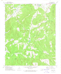
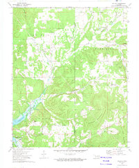
1973 Map of Greasy
USGS Topo · Published 1974About this map
B U N C H Mountain and Welch Mountain dominate the rugged geography of the Adair and Sequoyah County border in the early 1970s. This survey reveals a deeply etched landscape where small communities and family landmarks are tucked into narrow valleys and hollows. The Kansas City Southern railroad cuts through the western terrain, following the course of Sallisaw Creek past Kingdom Ch and Lyons Mountain. The map serves as a vital record for genealogists, detailing numerous rural burial grounds like Chuculate Cem and Killer Cem, alongside local gathering points such as Greasy Keeler Park. The distribution of Beaver Ch and Guiding Light Ch indicates the persistent social centers of these remote Oklahoma hills, while named drainage features like Star Killer Hollow and William Ross Hollow preserve the names of early residents.
Find a feature on this map
53 named features on this map. Tap any name to fly to it.
Don’t see what you’re looking for? This feature index may not catch every label — zoom into the map to look around manually.
Map Details
Editions of this 1973 Greasy Map
2 editions found
Other maps of this area

1898 · Tahlequah
USGS Topo · 1:125,000

1901 · Tahlequah
USGS Topo · 1:125,000

1905 · Tahlequah
USGS Topo · 1:125,000

1946 · Fort Smith
USGS Topo · 1:250,000

1965 · Fort Smith
USGS Topo · 1:250,000

1967 · Fort Smith
USGS Topo · 1:250,000
1972 · Marble City
USGS Topo · 1:24,000
1972 · Stilwell West
USGS Topo · 1:24,000
1972 · Tailholt
USGS Topo · 1:24,000
1972 · Bunch
USGS Topo · 1:24,000