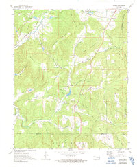
1973 Map of Greasy
USGS Topo · Published 1991About this map
Sallisaw Creek and the Kansas City Southern railroad corridor define the western edge of this landscape, where the terrain shifts into a series of prominent ridges and hollows. The settlement at Greasy and the surrounding highlands are punctuated by numerous small community centers, including Dahlonegah Sch and Greasy Sch. Significant topographic landmarks such as Dahlonegah Mountain, Welch Mountain, and Doublehead Mountain dominate the horizon, separated by deep drainages like Yellow Spring Hollow and Candy Mink Creek.
Find a feature on this map
51 named features on this map. Tap any name to fly to it.
Don’t see what you’re looking for? This feature index may not catch every label — zoom into the map to look around manually.
Map Details
Editions of this 1973 Greasy Map
2 editions found
Other maps of this area

1898 · Tahlequah
USGS Topo · 1:125,000

1901 · Tahlequah
USGS Topo · 1:125,000

1905 · Tahlequah
USGS Topo · 1:125,000

1946 · Fort Smith
USGS Topo · 1:250,000

1965 · Fort Smith
USGS Topo · 1:250,000

1967 · Fort Smith
USGS Topo · 1:250,000
1972 · Marble City
USGS Topo · 1:24,000
1972 · Stilwell West
USGS Topo · 1:24,000
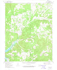
1972 · Tailholt
USGS Topo · 1:24,000
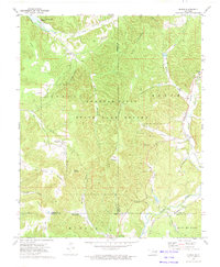
1972 · Bunch
USGS Topo · 1:24,000