
1959 Map of Great Bend NE
USGS Topo · Published 1960About this map
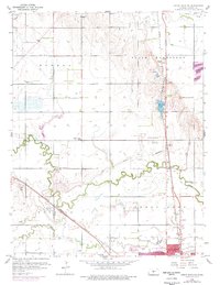
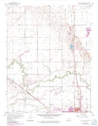
Walnut Creek and its southern neighbor Little Walnut Creek meander through this landscape, defining the agricultural and industrial character of Barton County. In the north, the Oil Field is densely marked with numerous Oil Well sites, signaling the region's energy economy. This era shows a community well-served by local education, featuring several rural institutions such as Countryside Sch, School No 45, and Bissell Point Sch.
Find a feature on this map
29 named features on this map. Tap any name to fly to it.
Don’t see what you’re looking for? This feature index may not catch every label — zoom into the map to look around manually.
Map Details
Editions of this 1959 Great Bend NE Map
3 editions found
Other maps of this area

1891 · Great Bend
USGS Topo · 1:125,000

1893 · Great Bend
USGS Topo · 1:125,000

1896 · Russell
USGS Topo · 1:125,000

1955 · Great Bend
USGS Topo · 1:250,000

1956 · Ellinwood NW
USGS Topo · 1:24,000

1957 · Great Bend
USGS Topo · 1:250,000

1957 · Ellinwood SW
USGS Topo · 1:24,000

1958 · Great Bend
USGS Topo · 1:250,000

1958 · Great Bend
USGS Topo · 1:24,000

1960 · Pawnee Rock
USGS Topo · 1:24,000