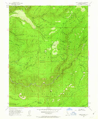
1952 Map of Greek Store
USGS Topo · Published 1963About this map
Placer Co Grove Sierra Redwoods stands as a central natural landmark in this high-elevation terrain of the Sierra Nevada during the early 1950s. The landscape is defined by the deep incisions of the Middle Fork American River and its numerous tributaries, including Grouse Creek and Big Mosquito Creek. This area within the Tahoe National Forest and Eldorado National Forest was a hub of hard-rock mining activity, evidenced by dozens of named claims such as the Eldorado Mine, Golden Rifle Mine, and the Sauer Kraut Bite Mine.
Find a feature on this map
100 named features on this map. Tap any name to fly to it.
Don’t see what you’re looking for? This feature index may not catch every label — zoom into the map to look around manually.
Map Details
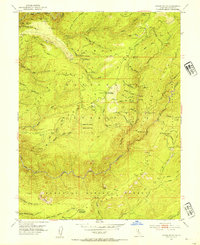
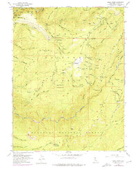
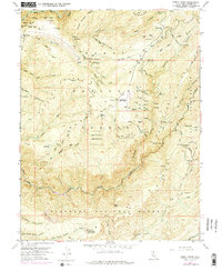
Editions of this 1952 Greek Store Map
4 editions found
Other maps of this area

1889 · Pyramid Peak
USGS Topo · 1:125,000

1891 · Colfax
USGS Topo · 1:125,000

1891 · Truckee
USGS Topo · 1:125,000

1891 · Placerville
USGS Topo · 1:125,000

1891 · Pyramid Peak
USGS Topo · 1:125,000

1892 · Placerville
USGS Topo · 1:125,000

1892 · Colfax
USGS Topo · 1:125,000

1893 · Placerville
USGS Topo · 1:125,000

1893 · Truckee
USGS Topo · 1:125,000

1894 · Colfax
USGS Topo · 1:125,000