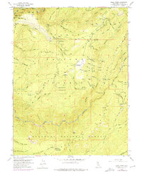
1952 Map of Greek Store
USGS Topo · Published 1975About this map
Gold mining operations and timber management dominate this mid-century survey of the California Sierra. The landscape is defined by the steep descent of Middle Fork American River and Duncan Canyon, where a dense network of claims such as the Missouri Flat Mine, Eldorado Mine, and Gold Dollar Mine trace the region's extractive history. The presence of former settlements like Star Town (Site) and French House (Site) points to an era of higher occupancy before the territory was primarily managed as the Tahoe National Forest.
Find a feature on this map
84 named features on this map. Tap any name to fly to it.
Don’t see what you’re looking for? This feature index may not catch every label — zoom into the map to look around manually.
Map Details
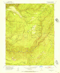
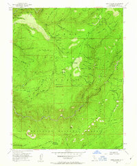
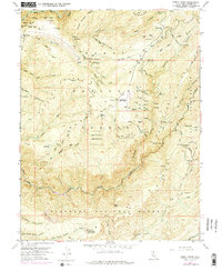
Editions of this 1952 Greek Store Map
4 editions found
Other maps of this area

1889 · Pyramid Peak
USGS Topo · 1:125,000

1891 · Colfax
USGS Topo · 1:125,000

1891 · Truckee
USGS Topo · 1:125,000

1891 · Placerville
USGS Topo · 1:125,000

1891 · Pyramid Peak
USGS Topo · 1:125,000

1892 · Placerville
USGS Topo · 1:125,000

1892 · Colfax
USGS Topo · 1:125,000

1893 · Placerville
USGS Topo · 1:125,000

1893 · Truckee
USGS Topo · 1:125,000

1894 · Colfax
USGS Topo · 1:125,000