
1954 Map of Greeley NW
USGS Topo · Published 1955About this map
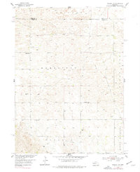
Homestead and Parnell townships define this rural expanse in the mid-1950s, a landscape shaped by the Nebraska Sandhills. The area is marked by a network of small, localized school districts and rural institutions that supported the dispersed farming community. Notable landmarks include the Amity Sch and its adjacent Amity Cem, along with the Fairview Sch and Fairdale Sch. These social centers appear as essential hubs for a population spread across the shifting terrain of Mount Pleasant and Clear Creek. A significant archaeological feature of the local economy is the Old Railroad Grade running through the eastern sections, indicating an era when rail transport reached further into these townships before being phased out. The map captures the quiet transition of Wheeler and Greeley counties as part of the broader Missouri River Basin development project.
Find a feature on this map
11 named features on this map. Tap any name to fly to it.
Don’t see what you’re looking for? This feature index may not catch every label — zoom into the map to look around manually.
Map Details
Editions of this 1954 Greeley NW Map
3 editions found
Other maps of this area

1954 · Ord SE
USGS Topo · 1:24,000

1954 · Gables SE
USGS Topo · 1:24,000

1954 · Ord NE
USGS Topo · 1:24,000

1954 · Horace
USGS Topo · 1:24,000

1954 · Greeley NE
USGS Topo · 1:24,000

1954 · Greeley
USGS Topo · 1:24,000

1954 · Bartlett SE
USGS Topo · 1:24,000

1954 · Ericson
USGS Topo · 1:24,000

1955 · Broken Bow
USGS Topo · 1:250,000

1956 · Broken Bow
USGS Topo · 1:250,000