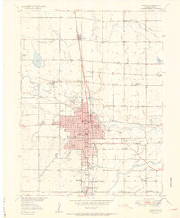
1950 Map of Greeley
USGS Topo · Published 1950About this map
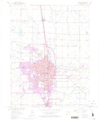
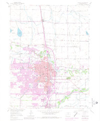
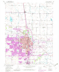
The Cache La Poudre River flows through the heart of this mid-century landscape, defining the agricultural and urban development of the region. The city of Greeley serves as a dense hub, bordered by the Greeley Spanish Colony and the agricultural settlements of Lucerne, Evans, and Garden City. The era's intricate irrigation network is highly visible, with the Greeley No 2 Canal, Ogilvy Ditch, and Greeley Loveland Canal lacing through the surrounding Pleasant Valley. These water systems, combined with the presence of multiple Gravel Pits and the Union Pacific rail lines, highlight the post-war industrial and farming economy. Local life is anchored by numerous institutions, from the Weld Co Public Hospital to neighborhood landmarks like the Linn Grove Cemetery and schools such as Meeker Jr HS and the Franklin School.
Find a feature on this map
69 named features on this map. Tap any name to fly to it.
Don’t see what you’re looking for? This feature index may not catch every label — zoom into the map to look around manually.
Map Details
Editions of this 1950 Greeley Map
8 editions found
Other maps of this area

1902 · Greeley
USGS Topo · 1:125,000

1908 · Eaton
USGS Topo · 1:125,000

1910 · Eaton
USGS Topo · 1:125,000

1950 · Greeley
USGS Topo · 1:24,000

1950 · Kersey
USGS Topo · 1:24,000

1950 · Bracewell
USGS Topo · 1:24,000

1950 · Milliken
USGS Topo · 1:24,000

1950 · Valley View School
USGS Topo · 1:24,000

1950 · La Salle
USGS Topo · 1:24,000
1951 · Milliken
USGS Topo · 1:24,000