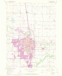
1950 Map of Greeley
USGS Topo · Published 1970About this map
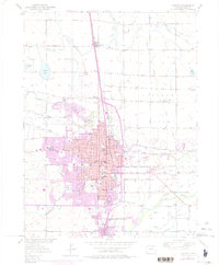
Greeley serves as the focal point of this mid-century landscape, positioned at the confluence where the Cache La Poudre River meets the South Platte River. The map illustrates a period of significant urban expansion, indicated by purple revisions showing new residential growth toward West Greeley Lake and the southern edge near Evans. This development is grounded by established institutions such as the Weld Co Public Hospital and Franklin School.
Find a feature on this map
46 named features on this map. Tap any name to fly to it.
Don’t see what you’re looking for? This feature index may not catch every label — zoom into the map to look around manually.
Map Details
Editions of this 1950 Greeley Map
8 editions found
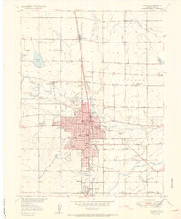
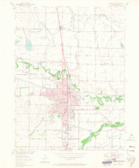
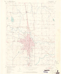
Other maps of this area

1902 · Greeley
USGS Topo · 1:125,000

1908 · Eaton
USGS Topo · 1:125,000

1910 · Eaton
USGS Topo · 1:125,000

1950 · Greeley
USGS Topo · 1:24,000

1950 · Kersey
USGS Topo · 1:24,000

1950 · Bracewell
USGS Topo · 1:24,000

1950 · Milliken
USGS Topo · 1:24,000

1950 · Valley View School
USGS Topo · 1:24,000

1950 · La Salle
USGS Topo · 1:24,000
1951 · Milliken
USGS Topo · 1:24,000