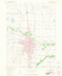
1950 Map of Greeley
USGS Topo · Published 1965About this map
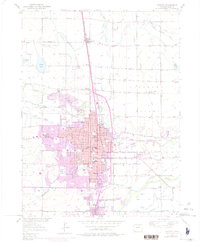
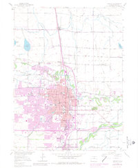
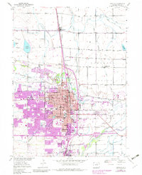
The confluence of the Cache La Poudre River and the South Platte River anchors this 1950s-era study of northern Colorado’s agricultural and civic heart. The city of Greeley dominates the landscape, showing a dense grid of streets and institutional landmarks including the Weld Co Public Hospital and Meeker Jr HS. Beyond the urban core, the map reveals the critical irrigation infrastructure of the region, featuring the Greeley No 2 Canal and Latham Ditch, which supported the surrounding beet and grain fields.
Find a feature on this map
51 named features on this map. Tap any name to fly to it.
Don’t see what you’re looking for? This feature index may not catch every label — zoom into the map to look around manually.
Map Details
Editions of this 1950 Greeley Map
8 editions found
Other maps of this area

1902 · Greeley
USGS Topo · 1:125,000

1908 · Eaton
USGS Topo · 1:125,000

1910 · Eaton
USGS Topo · 1:125,000

1950 · Greeley
USGS Topo · 1:24,000

1950 · Kersey
USGS Topo · 1:24,000

1950 · Bracewell
USGS Topo · 1:24,000

1950 · Milliken
USGS Topo · 1:24,000

1950 · Valley View School
USGS Topo · 1:24,000

1950 · La Salle
USGS Topo · 1:24,000
1951 · Milliken
USGS Topo · 1:24,000