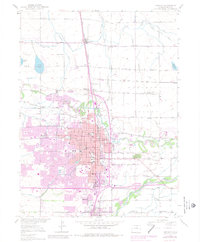
1950 Map of Greeley
USGS Topo · Published 1980About this map
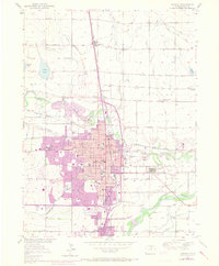
Greeley serves as the focal point of this mid-century landscape, positioned at the confluence where the Cache La Poudre River meets the South Platte River. The mapping shows a well-established urban grid punctuated by educational and civic landmarks like the University of Northern Colorado and the Weld County Hospital. Irrigation is central to the area's development, evidenced by the extensive network of the Latham Ditch and numerous canals supporting the Pleasant Valley region. To the north and south, smaller settlements like Lucerne, Garden City, and Evans are linked by the Union Pacific rail lines. Local history researchers will find a dense distribution of rural institutions, including the Buell School, Olin School, and the Linn Grove Cemetery, which provide essential touchstones for tracing family roots in this agricultural hub of Weld County.
Find a feature on this map
42 named features on this map. Tap any name to fly to it.
Don’t see what you’re looking for? This feature index may not catch every label — zoom into the map to look around manually.
Map Details
Editions of this 1950 Greeley Map
8 editions found
Other maps of this area

1902 · Greeley
USGS Topo · 1:125,000

1908 · Eaton
USGS Topo · 1:125,000

1910 · Eaton
USGS Topo · 1:125,000

1950 · Greeley
USGS Topo · 1:24,000

1950 · Kersey
USGS Topo · 1:24,000

1950 · Bracewell
USGS Topo · 1:24,000

1950 · Milliken
USGS Topo · 1:24,000

1950 · Valley View School
USGS Topo · 1:24,000

1950 · La Salle
USGS Topo · 1:24,000
1951 · Milliken
USGS Topo · 1:24,000