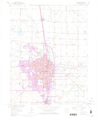
1950 Map of Greeley
USGS Topo · Published 1975About this map
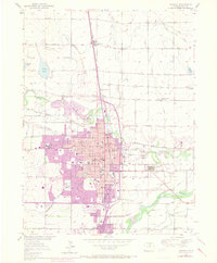
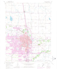
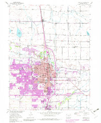
The confluence of the Cache La Poudre River and the South Platte River anchors this detailed study of Weld County’s agricultural and urban heart. By the mid-20th century, the expansion of Greeley is clearly visible, with newer developments pushing toward the industrial corridor of the Union Pacific railroad and outlying communities like Garden City and Rosedale. The map illustrates an intricate irrigation network vital to the High Plains, including the Greeley No 2 Canal and Greeley No 3 Ditch, which transformed the surrounding Pleasant Valley into productive farmland.
Find a feature on this map
38 named features on this map. Tap any name to fly to it.
Don’t see what you’re looking for? This feature index may not catch every label — zoom into the map to look around manually.
Map Details
Editions of this 1950 Greeley Map
8 editions found
Other maps of this area

1902 · Greeley
USGS Topo · 1:125,000

1908 · Eaton
USGS Topo · 1:125,000

1910 · Eaton
USGS Topo · 1:125,000

1950 · Greeley
USGS Topo · 1:24,000

1950 · Kersey
USGS Topo · 1:24,000

1950 · Bracewell
USGS Topo · 1:24,000

1950 · Milliken
USGS Topo · 1:24,000

1950 · Valley View School
USGS Topo · 1:24,000

1950 · La Salle
USGS Topo · 1:24,000
1951 · Milliken
USGS Topo · 1:24,000