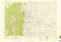
1958 Map of Greeley
USGS Topo · Published 1958About this map
The Front Range of the Colorado Rockies meets the high plains in this mid-century survey, showcasing a landscape defined by dramatic elevation changes and a sophisticated irrigation network. Dominating the western half are the high summits of Rocky Mountain National Park, including the iconic Longs Peak and Mount Meeker. East of the mountains, the Cache la Poudre River and Big Thompson River feed a dense system of reservoirs and canals that sustain the agricultural heartland of Weld County.
Find a feature on this map
194 named features on this map. Tap any name to fly to it.
Don’t see what you’re looking for? This feature index may not catch every label — zoom into the map to look around manually.
Map Details
Editions of this 1958 Greeley Map
This is the sole edition of this map. No revisions or reprints were ever made.
Other maps of this area
1890 · East Denver
USGS Topo · 1:125,000
1895 · Laramie
USGS Topo · 1:125,000

1899 · West Denver
USGS Topo · 1:125,000
1902 · Laramie
USGS Topo · 1:125,000
1902 · Greeley
USGS Topo · 1:125,000
1902 · Boulder
USGS Topo · 1:62,500
1904 · Niwot
USGS Topo · 1:62,500
1904 · Boulder
USGS Topo · 1:62,500
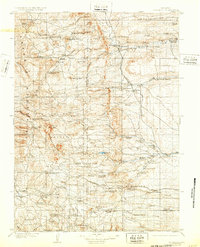
1905 · Sherman
USGS Topo · 1:125,000
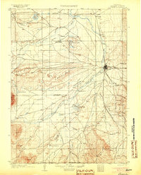
1905 · Laramie
USGS Topo · 1:125,000