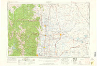
1961 Map of Greeley
USGS Topo · Published 1961About this map
Rocky Mountain National Park and the high peaks of the Front Range dominate the western portion of this 1961 revision, where Longs Peak and Mount Meeker tower over the transition into the high plains. The landscape is defined by the crucial intersection of mountain runoff and agricultural expansion, with the Cache la Poudre River and South Platte River feeding a complex network of irrigation reservoirs like Riverside Reservoir and Empire Reservoir. These water sources supported the development of agricultural hubs such as Greeley, Fort Collins, and Loveland.
Find a feature on this map
263 named features on this map. Tap any name to fly to it.
Don’t see what you’re looking for? This feature index may not catch every label — zoom into the map to look around manually.
Map Details
Editions of this 1961 Greeley Map
This is the sole edition of this map. No revisions or reprints were ever made.
Other maps of this area
1890 · East Denver
USGS Topo · 1:125,000
1895 · Laramie
USGS Topo · 1:125,000

1899 · West Denver
USGS Topo · 1:125,000
1902 · Laramie
USGS Topo · 1:125,000
1902 · Greeley
USGS Topo · 1:125,000
1902 · Boulder
USGS Topo · 1:62,500
1904 · Niwot
USGS Topo · 1:62,500
1904 · Boulder
USGS Topo · 1:62,500
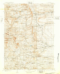
1905 · Sherman
USGS Topo · 1:125,000
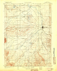
1905 · Laramie
USGS Topo · 1:125,000