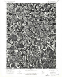
1974 Map of Green City NW
USGS Topo · Published 1975About this map
Unionville dominates the northwestern portion of this 1974 orthophotoquad, showing the town's footprint as it transitioned into the mid-1970s. This specific type of aerial-derived map provides a high-contrast look at the Missouri landscape, emphasizing the intricate patchwork of agricultural fields and the deep, wooded drainage patterns that carve through the northern Missouri terrain. While many traditional topographic maps use symbols for vegetation, this photographic record reveals the exact density of woodlots and the precise layout of farmsteads and rural road networks surrounding the settlement. The contrast between the organized grid of the town and the irregular, erosion-shaped creek valleys provides a clear view of how local topography dictated the limits of development in Putnam County during this era.
Find a feature on this map
1 named feature on this map. Tap any name to fly to it.
Don’t see what you’re looking for? This feature index may not catch every label — zoom into the map to look around manually.
Map Details
Editions of this 1974 Green City NW Map
This is the sole edition of this map. No revisions or reprints were ever made.
Other maps of this area

1912 · Green City
USGS Topo · 1:62,500

1914 · Green City
USGS Topo · 1:62,500

1939 · Centerville
USGS Topo · 1:62,500

1941 · Centerville
USGS Topo · 1:62,500

1942 · Seymour
USGS Topo · 1:62,500

1944 · Seymour
USGS Topo · 1:62,500

1954 · Centerville
USGS Topo · 1:250,000

1957 · Centerville
USGS Topo · 1:250,000

1958 · Centerville
USGS Topo · 1:250,000

1964 · Unionville West
USGS Topo · 1:24,000