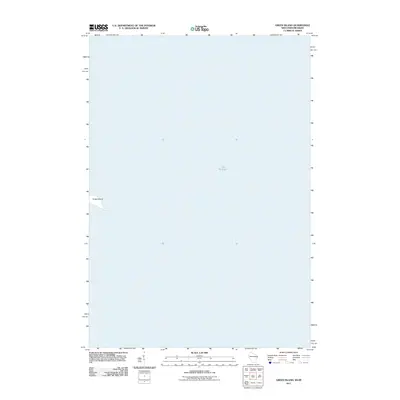
2011 Map of Green Island
USGS Topo · Published 2011About this map
Green Island sits in the waters of Lake Michigan, appearing here as it was surveyed by the U.S. Geological Survey in the early 21st century. This specific quadrangle focuses primarily on the maritime environment of the bay, with the small landmass of Green Island serving as the central navigational landmark. The mapping reflects the essential character of this portion of the Great Lakes, where the isolation of the island is clearly defined against the vast surrounding waters. Researchers interested in the coastal geography of Door County will find this sheet provides a precise record of the island's shoreline and position within the lake during this era.
Find a feature on this map
2 named features on this map. Tap any name to fly to it.
Don’t see what you’re looking for? This feature index may not catch every label — zoom into the map to look around manually.
Map Details
Editions of this 2011 Green Island Map
This is the sole edition of this map. No revisions or reprints were ever made.
Other maps of this area

1939 · Marinette
USGS Topo · 1:48,000

1954 · Escanaba
USGS Topo · 1:250,000

1954 · Manitowoc
USGS Topo · 1:250,000

1957 · Escanaba
USGS Topo · 1:250,000

1958 · Escanaba
USGS Topo · 1:250,000

1958 · Manitowoc
USGS Topo · 1:250,000

1960 · Sturgeon Bay
USGS Topo · 1:62,500

1961 · Little Sturgeon
USGS Topo · 1:62,500

1961 · Chambers Island
USGS Topo · 1:62,500
1963 · Birch Creek
USGS Topo · 1:24,000