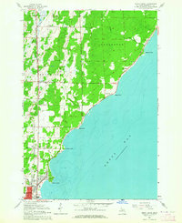
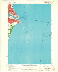
1963 Map of Birch Creek
USGS Topo · Published 1964About this map
The western shoreline of Green Bay serves as the focal point for this 1963 survey of Menominee County, where the Chicago and North Western railroad parallels the coast. This corridor links a series of small coastal and inland settlements including Hansen, Ingallston, and Birch Creek. The landscape transition from the established northern neighborhoods of Menominee to the more rural farming and timber lands of Ingallston is clearly marked by a dense network of local schools and churches, such as Spangle Sch and Holy Trinity Ch.
Find a feature on this map
42 named features on this map. Tap any name to fly to it.
Don’t see what you’re looking for? This feature index may not catch every label — zoom into the map to look around manually.
Map Details
Editions of this 1963 Birch Creek Map
2 editions found
Other maps of this area

1939 · Marinette
USGS Topo · 1:48,000

1949 · Stephenson
USGS Topo · 1:48,000

1954 · Escanaba
USGS Topo · 1:250,000

1957 · Escanaba
USGS Topo · 1:250,000

1958 · Escanaba
USGS Topo · 1:250,000

1961 · Chambers Island
USGS Topo · 1:62,500

1963 · Cedar River
USGS Topo · 1:62,500
1963 · Marinette West
USGS Topo · 1:24,000
1963 · Chappee Rapids
USGS Topo · 1:24,000
1963 · Marinette East
USGS Topo · 1:24,000