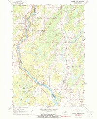
1963 Map of Chappee Rapids
USGS Topo · Published 1964About this map
The Menominee River serves as the dividing line between Wisconsin and Michigan, with the township of Porterfield on the western bank and Menominee to the east. This mid-century landscape is defined by its glacial legacy, featuring numerous Gravel Pits and a winding network of tributaries including Kelley Creek, Little River, and Hay Creek. Near the river's bend, Chappee Rapids stands as a prominent natural feature, historically significant for navigation and early settlement patterns along the border.
Find a feature on this map
26 named features on this map. Tap any name to fly to it.
Don’t see what you’re looking for? This feature index may not catch every label — zoom into the map to look around manually.
Map Details
Editions of this 1963 Chappee Rapids Map
2 editions found
Other maps of this area

1939 · Marinette
USGS Topo · 1:48,000

1939 · Porterfield
USGS Topo · 1:48,000

1942 · Porterfield
USGS Topo · 1:48,000

1942 · Wausaukee
USGS Topo · 1:48,000

1947 · Wausaukee
USGS Topo · 1:48,000

1949 · Stephenson
USGS Topo · 1:48,000

1954 · Escanaba
USGS Topo · 1:250,000

1957 · Escanaba
USGS Topo · 1:250,000

1958 · Escanaba
USGS Topo · 1:250,000

1963 · Porterfield
USGS Topo · 1:62,500