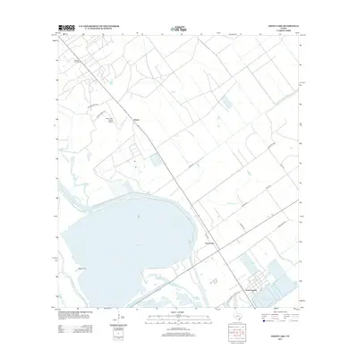
2013 Map of Green Lake
USGS Topo · Published 2013About this map
The massive basin of Green Lake dominates this coastal landscape in Calhoun County, serving as a focal point for a complex network of bayous and man-made waterways. To the north, the Heyser Oil Field and the small settlement of Heyser reflect the region's industrial and energy roots, while the Green Lake Ranch Airport suggests the large-scale ranching operations common to the Texas coastal bend. The southern portion of the map highlights the intricate management of water and industry, featuring the Victoria Barge Canal and the GBRA Diversion Canal, which cut through the lowlands near Buffalo Lake. Industrial footprints are further evidenced by Operating Basin Number 5 and Operating Basin Number 31 near the community of North Seadrift, illustrating the intersection of hydraulic engineering and commercial development in this riparian environment.
Find a feature on this map
31 named features on this map. Tap any name to fly to it.
Don’t see what you’re looking for? This feature index may not catch every label — zoom into the map to look around manually.
Map Details
Editions of this 2013 Green Lake Map
This is the sole edition of this map. No revisions or reprints were ever made.
Other maps of this area
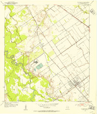
1951 · Bloomington
USGS Topo · 1:24,000
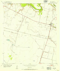
1952 · Tivoli
USGS Topo · 1:24,000
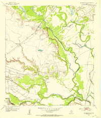
1952 · Bloomington SW
USGS Topo · 1:24,000
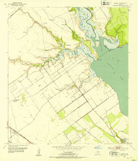
1952 · Kamey
USGS Topo · 1:24,000
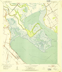
1952 · Austwell
USGS Topo · 1:24,000
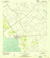
1952 · Seadrift
USGS Topo · 1:24,000
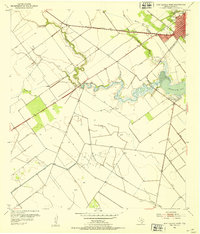
1952 · Port Lavaca West
USGS Topo · 1:24,000
1952 · Placedo
USGS Topo · 1:24,000
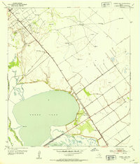
1952 · Green Lake
USGS Topo · 1:24,000

1953 · Beeville
USGS Topo · 1:250,000