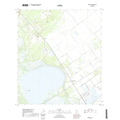
2019 Map of Green Lake
USGS Topo · Published 2019About this map
Green Lake dominates the coastal landscape of Calhoun County in this 2019 survey, illustrating the complex intersection of natural hydrology and industrial water management. The settlement of Heyser sits at a transport junction north of the water, while the GBRA Diversion Canal and Operating Basin Number 5 show the modern infrastructure utilized to manage the region's resources.
Find a feature on this map
22 named features on this map. Tap any name to fly to it.
Don’t see what you’re looking for? This feature index may not catch every label — zoom into the map to look around manually.
Map Details
Editions of this 2019 Green Lake Map
This is the sole edition of this map. No revisions or reprints were ever made.
Other maps of this area
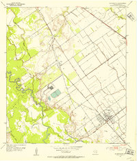
1951 · Bloomington
USGS Topo · 1:24,000
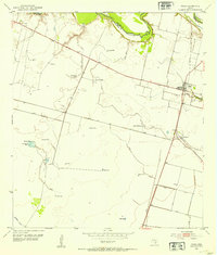
1952 · Tivoli
USGS Topo · 1:24,000
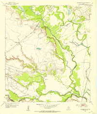
1952 · Bloomington SW
USGS Topo · 1:24,000
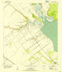
1952 · Kamey
USGS Topo · 1:24,000
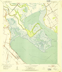
1952 · Austwell
USGS Topo · 1:24,000
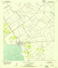
1952 · Seadrift
USGS Topo · 1:24,000
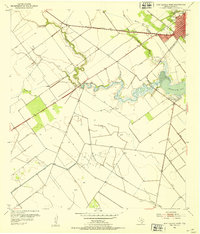
1952 · Port Lavaca West
USGS Topo · 1:24,000
1952 · Placedo
USGS Topo · 1:24,000
1952 · Green Lake
USGS Topo · 1:24,000
1953 · Beeville
USGS Topo · 1:250,000