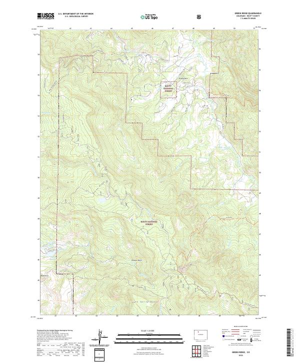
2022 Map of Green Ridge
USGS Topo · Published 2022About this map
Routt National Forest encompasses this high-elevation landscape in Routt County, characterized by the prominent spine of Green Ridge and isolated peaks like Simpson Mtn. The terrain is defined by dramatic drainage basins and steep descents, most notably The Slide and Wheeler Basin in the southern portion of the sheet. Water resources are managed through several alpine catchments, including the Bar-Bee Lake Reservoir and Lake Cr Reservoir, which feed into a complex system of creeks such as Morrison Cr and Muddy Cr.
Find a feature on this map
49 named features on this map. Tap any name to fly to it.
Don’t see what you’re looking for? This feature index may not catch every label — zoom into the map to look around manually.
Map Details
Editions of this 2022 Green Ridge Map
This is the sole edition of this map. No revisions or reprints were ever made.
Other maps of this area

1954 · Craig
USGS Topo · 1:250,000

1956 · Walton Peak
USGS Topo · 1:24,000

1956 · Gore Pass
USGS Topo · 1:62,500

1956 · Rabbit Ears Peak
USGS Topo · 1:62,500

1957 · Craig
USGS Topo · 1:250,000

1958 · Craig
USGS Topo · 1:250,000

1960 · Craig
USGS Topo · 1:250,000

1962 · Craig
USGS Topo · 1:250,000

1964 · Craig
USGS Topo · 1:250,000

1965 · Craig
USGS Topo · 1:250,000