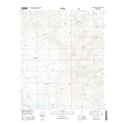
2014 Map of Greenback Creek
USGS Topo · Published 2014About this map
Tonto National Forest land dominates this landscape in central Arizona, where high desert mesas meet the waters of Theodore Roosevelt Lake. The map reveals a rugged terrain defined by significant elevation changes, from the prominent Sierra Ancha range in the east to the expansive Tonto Basin in the west. A network of seasonal springs and storage tanks, such as Cactus Butte Spring and First Basin Tank, suggests the importance of water management for local ranching and land use. Local landmarks like Cline Mesa and Methodist Mesa rise above the drainage of Greenback Creek, while transportation is limited to the winding A-Cross Rd and State Hwy 188. This survey documents the intersection of high-country topography and modern water infrastructure in Gila County.
Find a feature on this map
54 named features on this map. Tap any name to fly to it.
Don’t see what you’re looking for? This feature index may not catch every label — zoom into the map to look around manually.
Map Details
Editions of this 2014 Greenback Creek Map
This is the sole edition of this map. No revisions or reprints were ever made.
Other maps of this area
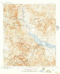
1907 · Roosevelt
USGS Topo · 1:125,000
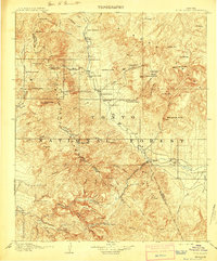
1909 · Four Peaks
USGS Topo · 1:125,000
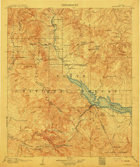
1912 · Roosevelt
USGS Topo · 1:125,000
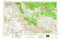
1954 · Mesa
USGS Topo · 1:250,000
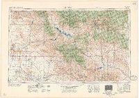
1957 · Mesa
USGS Topo · 1:250,000
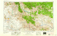
1958 · Mesa
USGS Topo · 1:250,000
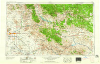
1960 · Mesa
USGS Topo · 1:250,000
1964 · Mesa
USGS Topo · 1:250,000
1964 · Kayler Butte
USGS Topo · 1:24,000
1964 · Armer Mountain
USGS Topo · 1:24,000