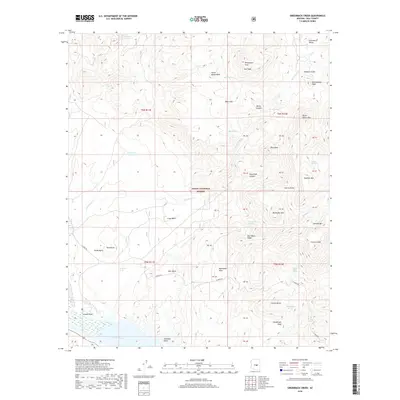
2018 Map of Greenback Creek
USGS Topo · Published 2018About this map
Tonto Basin and the southern reaches of the Tonto National Forest define this landscape where the high peaks of the Sierra Ancha meet the waters of Tonto Creek. The map documents a rugged drainage network where Greenback Cr and Methodist Cr carve deep canyons through elevated landforms like Cline Mesa and Henderson Mesa. These mesas and peaks, including Red Blanket Peak and Boneyback Peak, create a high-relief environment characterized by numerous natural water sources like Edwards Spring, Jernigan Spring, and Hackberry Spring.
Find a feature on this map
60 named features on this map. Tap any name to fly to it.
Don’t see what you’re looking for? This feature index may not catch every label — zoom into the map to look around manually.
Map Details
Editions of this 2018 Greenback Creek Map
This is the sole edition of this map. No revisions or reprints were ever made.
Other maps of this area
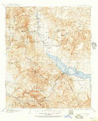
1907 · Roosevelt
USGS Topo · 1:125,000
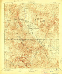
1909 · Four Peaks
USGS Topo · 1:125,000
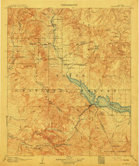
1912 · Roosevelt
USGS Topo · 1:125,000
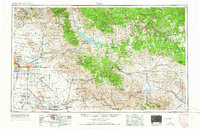
1954 · Mesa
USGS Topo · 1:250,000
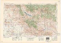
1957 · Mesa
USGS Topo · 1:250,000
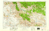
1958 · Mesa
USGS Topo · 1:250,000
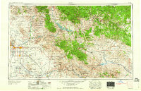
1960 · Mesa
USGS Topo · 1:250,000
1964 · Mesa
USGS Topo · 1:250,000
1964 · Kayler Butte
USGS Topo · 1:24,000
1964 · Armer Mountain
USGS Topo · 1:24,000