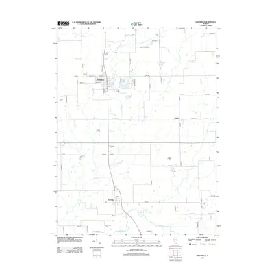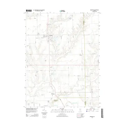
2024 Map of Greenfield
USGS Topo · Published 2024About this map
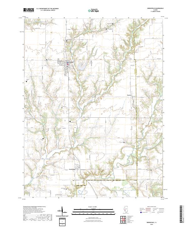
Greenfield serves as the primary hub of this west-central Illinois landscape, where the grid of city streets like Walnut St and College St gives way to the winding drainage of Taylor Creek and Rubicon Creek. The area is notably dense with small family and community burial grounds, providing a significant resource for genealogical research. Locations such as Oakwood Cem, Rose Hill Cem, and the remote Witt Number 1 Cem are preserved across the agricultural parcels and creek bottoms.
Find a feature on this map
81 named features on this map. Tap any name to fly to it.
Don’t see what you’re looking for? This feature index may not catch every label — zoom into the map to look around manually.
Map Details
Editions of this 2024 Greenfield Map
This is the sole edition of this map. No revisions or reprints were ever made.
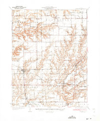
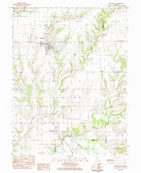
Historical Maps of Greenfield Through Time
7 maps found