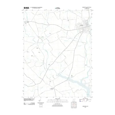
2010 Map of Greenfield
USGS Topo · Published 2010About this map
The town of Greenfield anchors the northeast corner of this Highland County landscape, established where Paint Creek flows south toward what is now Paint Creek State Park and Paint Creek Lake. This 2010 survey illustrates a primarily agricultural region defined by a high concentration of family and community burial grounds, offering significant value for genealogical research. Smaller settlements like East Monroe to the northwest and New Petersburg to the south remain connected by a grid of rural routes including Centerfield Rd and Miami Trace Rd. The hydrology is particularly intricate, with numerous tributaries such as Rattlesnake Creek, Walnut Creek, and Duncan Run carving through the terrain. Evidence of local recreation and community infrastructure is visible at Unger Field and the Greenfield Post Office, while the southern portion of the map highlights the transition from traditional farm tracts to the protected woodlands surrounding the lake.
Find a feature on this map
74 named features on this map. Tap any name to fly to it.
Don’t see what you’re looking for? This feature index may not catch every label — zoom into the map to look around manually.
Map Details
Editions of this 2010 Greenfield Map
This is the sole edition of this map. No revisions or reprints were ever made.
Other maps of this area

1915 · Bainbridge
USGS Topo · 1:48,000

1917 · Bainbridge
USGS Topo · 1:62,500

1917 · Greenfield
USGS Topo · 1:62,500

1917 · Hillsboro
USGS Topo · 1:62,500

1917 · Sabina
USGS Topo · 1:62,500

1943 · Sabina
USGS Topo · 1:62,500

1944 · Hillsboro
USGS Topo · 1:62,500

1944 · Greenfield
USGS Topo · 1:62,500

1947 · Columbus
USGS Topo · 1:250,000

1960 · Greenfield
USGS Topo · 1:24,000