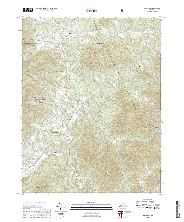
2022 Map of Greenfield
USGS Topo · Published 2022About this map
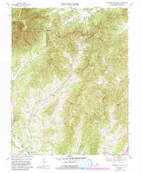
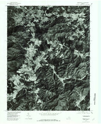
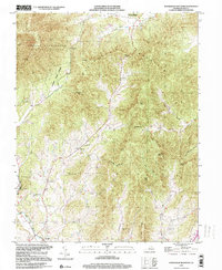
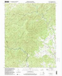
The Albemarle and Nelson County line divides this landscape of the Blue Ridge foothills, where the Appalachian National Scenic Trail traverses the high ridges of the George Washington National Forest. The map centers on the Rockfish River watershed, following the South Fork Rockfish River as it winds past Martins Store and Greenfield. Local genealogy and land history are anchored by landmarks like the Hebron Baptist Church Cem and Holy Cross Cem, alongside smaller settlements such as Lodebar, Durrett Town, and Heards. The terrain is defined by prominent peaks including Massies Mtn, Pilot Mtn, and Archer Mtn, which overlook narrow valleys like Glass Hollow and Cooks Hollow. This topographic study provides a clear view of modern rural Virginia, documenting the persistent network of state routes and watercourses like Mechums River and Lake Monocan that have shaped local settlement for generations.
Find a feature on this map
51 named features on this map. Tap any name to fly to it.
Don’t see what you’re looking for? This feature index may not catch every label — zoom into the map to look around manually.
Map Details
Editions of this 2022 Greenfield Map
This is the sole edition of this map. No revisions or reprints were ever made.
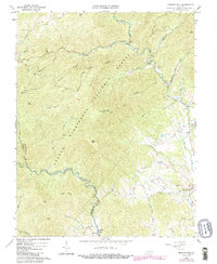
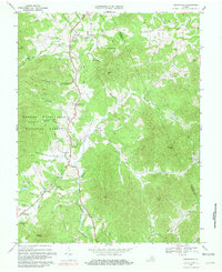
Historical Maps of Martins Store Through Time
10 maps found
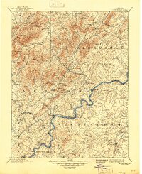
1892 Buckingham
Nelson County, VA
1965 Massies Mill
Nelson County, VA
1967 Greenfield
Nelson County, VA
1967 Horseshoe Mountain
Nelson County, VA
1979 Greenfield
Nelson County, VA
1999 Horseshoe Mountain
Nelson County, VA
1999 Massies Mill
Nelson County, VA
2022 Greenfield
Nelson County, VA
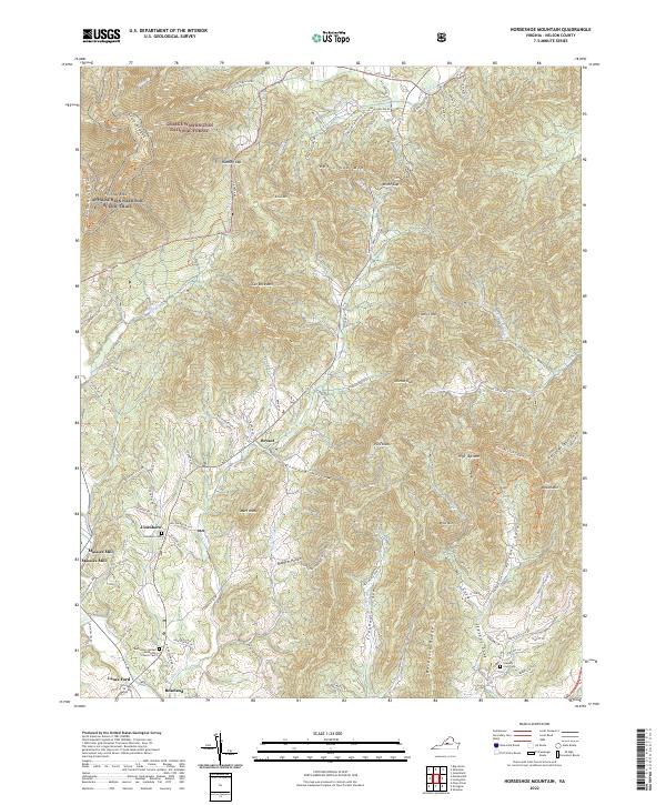
2022 Horseshoe Mountain
Nelson County, VA
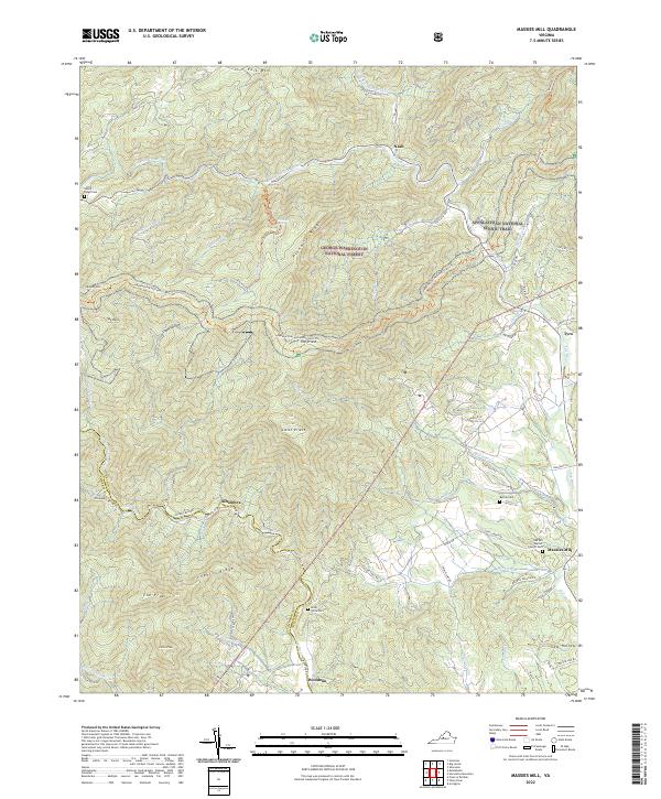
2022 Massies Mill
Nelson County, VA