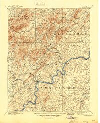
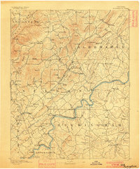
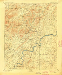
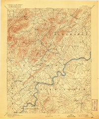
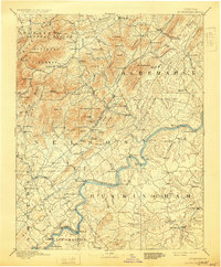
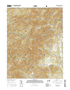
1892 Map of Buckingham
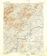
USGS Topo · Published 1945About this map
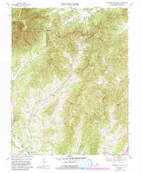
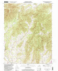
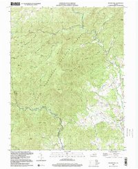
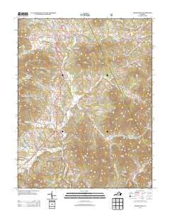
The James River carves a deep, winding path through central Virginia, serving as the primary corridor for the Richmond and Alleghany Railroad during the late nineteenth century. This landscape is defined by the steep rises of the Blue Ridge mountains to the northwest, where features like Humpback and Three Ridges dominate the horizon within the George Washington National Forest. The map documents a period of active local industry and transit, evidenced by rural infrastructure such as the Soap Stone Quarry and Slate River Mills.
Find a feature on this map
132 named features on this map. Tap any name to fly to it.
Don’t see what you’re looking for? This feature index may not catch every label — zoom into the map to look around manually.
Map Details
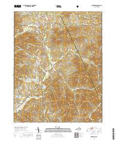
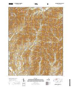
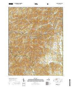
Editions of this 1892 Buckingham Map
7 editions found

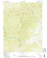
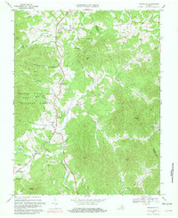
Historical Maps of Nellysford Through Time
22 maps found
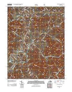
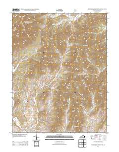
1892 Buckingham
Nelson County, VA
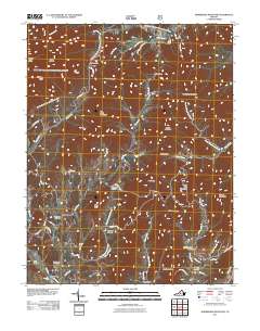
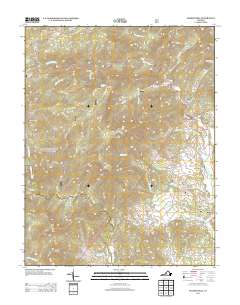
1965 Massies Mill
Nelson County, VA
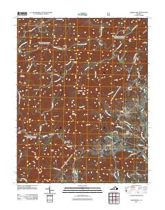
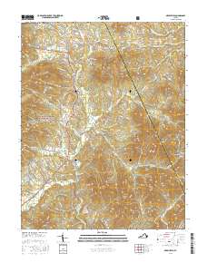
1967 Greenfield
Nelson County, VA
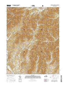
1967 Horseshoe Mountain
Nelson County, VA
1979 Greenfield
Nelson County, VA
1999 Horseshoe Mountain
Nelson County, VA
1999 Massies Mill
Nelson County, VA
2011 Greenfield
Nelson County, VA
2011 Horseshoe Mountain
Nelson County, VA
2011 Massies Mill
Nelson County, VA
2013 Greenfield
Nelson County, VA
2013 Horseshoe Mountain
Nelson County, VA
2013 Massies Mill
Nelson County, VA
2016 Greenfield
Nelson County, VA
2016 Horseshoe Mountain
Nelson County, VA
2016 Massies Mill
Nelson County, VA
2019 Greenfield
Nelson County, VA
2019 Horseshoe Mountain
Nelson County, VA
2019 Massies Mill
Nelson County, VA
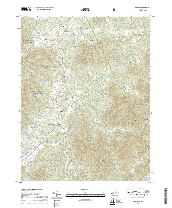
2022 Greenfield
Nelson County, VA
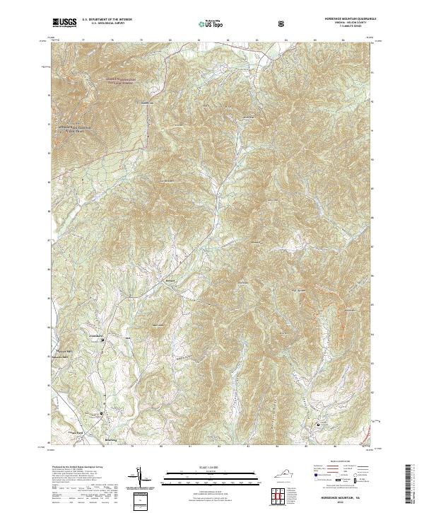
2022 Horseshoe Mountain
Nelson County, VA
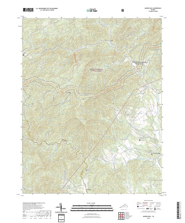
2022 Massies Mill
Nelson County, VA