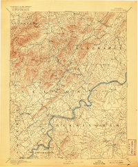
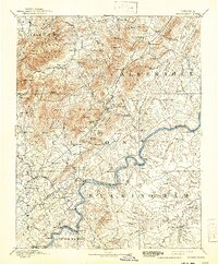
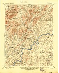
1892 Map of Buckingham
USGS Topo · Published 1920About this map
Lovingston serves as a central hub in this late 19th-century survey of Central Virginia, where the rugged topography of the Blue Ridge transitions into the productive Piedmont. The landscape is defined by the winding course of the James River and the critical transportation corridors of the Southern Railway and the Richmond and Alleghany Railroad. These rail lines connected local industry and agriculture, such as the Soap Stone Quarry near Schuyler, to broader markets.
Find a feature on this map
147 named features on this map. Tap any name to fly to it.
Don’t see what you’re looking for? This feature index may not catch every label — zoom into the map to look around manually.
Map Details
Editions of this 1892 Buckingham Map
7 editions found
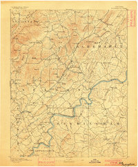
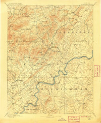
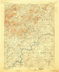
Other maps of this area

1891 · Palmyra
USGS Topo · 1:125,000

1891 · Farmville
USGS Topo · 1:125,000

1892 · Lynchburg
USGS Topo · 1:125,000

1892 · Buckingham
USGS Topo · 1:125,000

1892 · Appomattox
USGS Topo · 1:125,000

1892 · Gordonsville
USGS Topo · 1:125,000

1892 · Harrisonburg
USGS Topo · 1:125,000

1893 · Farmville
USGS Topo · 1:125,000

1894 · Staunton
USGS Topo · 1:125,000

1894 · Lexington
USGS Topo · 1:125,000