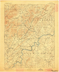
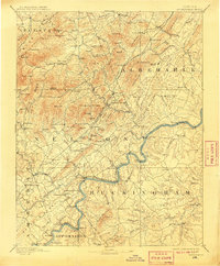
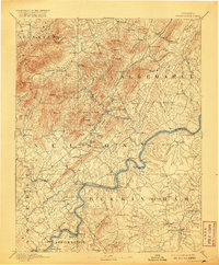
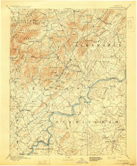
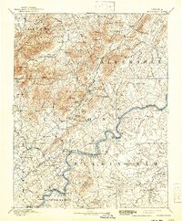
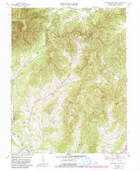
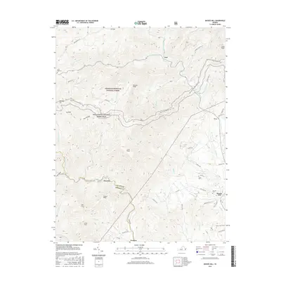
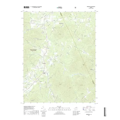
1892 Map of Buckingham
USGS Topo · Published 1900About this map
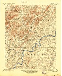
The Lovingston district and the surrounding Blue Ridge foothills define this late 19th-century landscape, where the agricultural economy of Virginia met the emerging industrial potential of the James River valley. Early industrial sites such as the Soap Stone Quarry near Schuyler and local milling centers like Faber Mills and Variety Mills highlight the era's reliance on local natural resources. The transportation network is anchored by the Virginia Midland Railroad and the Chesapeake and Ohio Railroad, which facilitated the movement of goods and people between rural depots like New Glasgow Depot and Buffalo Springs Station. Cultural landmarks, including the Kleinburg School and Bagby Church, serve as vital anchors for genealogical research in these small communities. The topography is dominated by prominent heights such as Green Mt. and Findlay Mountain, which funneled settlement toward the banks of the Buffalo River and the Tye River.
Find a feature on this map
170 named features on this map. Tap any name to fly to it.
Don’t see what you’re looking for? This feature index may not catch every label — zoom into the map to look around manually.
Map Details
Editions of this 1892 Buckingham Map
7 editions found

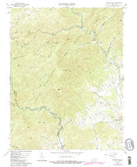
Historical Maps of Nellysford Through Time
22 maps found
1892 Buckingham
Nelson County, VA
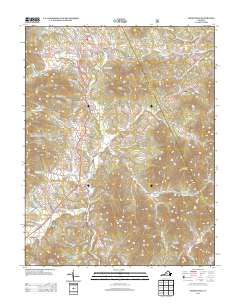
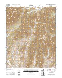
1965 Massies Mill
Nelson County, VA
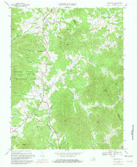
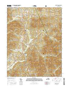
1967 Greenfield
Nelson County, VA
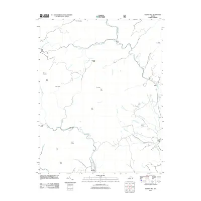
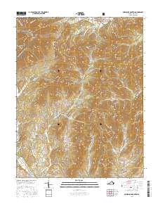
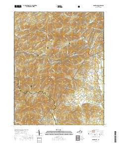
1967 Horseshoe Mountain
Nelson County, VA
1979 Greenfield
Nelson County, VA
1999 Horseshoe Mountain
Nelson County, VA
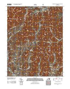
1999 Massies Mill
Nelson County, VA
2011 Greenfield
Nelson County, VA
2011 Horseshoe Mountain
Nelson County, VA
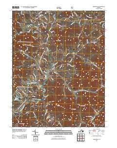
2011 Massies Mill
Nelson County, VA
2013 Greenfield
Nelson County, VA
2013 Horseshoe Mountain
Nelson County, VA

2013 Massies Mill
Nelson County, VA
2016 Greenfield
Nelson County, VA
2016 Horseshoe Mountain
Nelson County, VA
2016 Massies Mill
Nelson County, VA
2019 Greenfield
Nelson County, VA
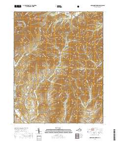
2019 Horseshoe Mountain
Nelson County, VA
2019 Massies Mill
Nelson County, VA
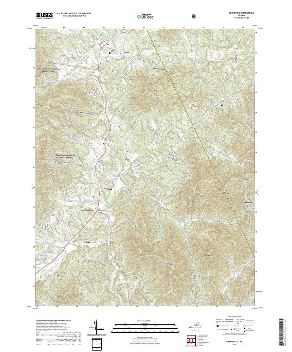
2022 Greenfield
Nelson County, VA
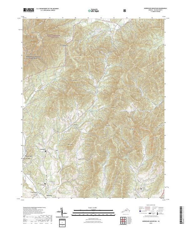
2022 Horseshoe Mountain
Nelson County, VA
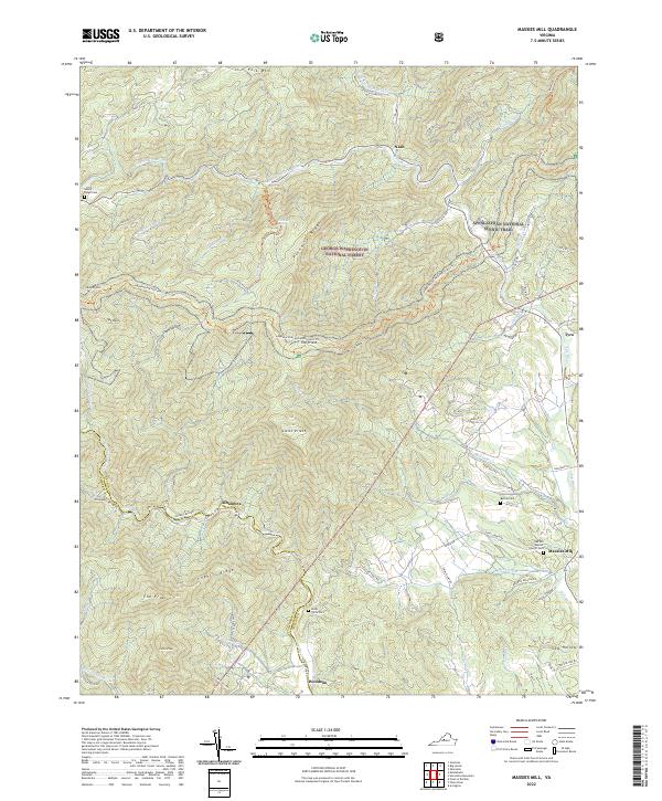
2022 Massies Mill
Nelson County, VA