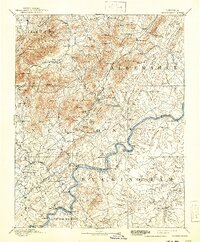
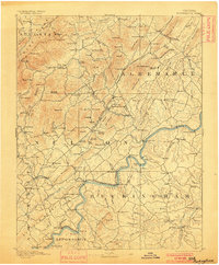
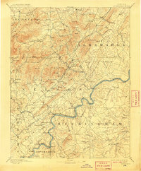
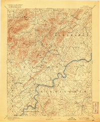
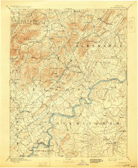
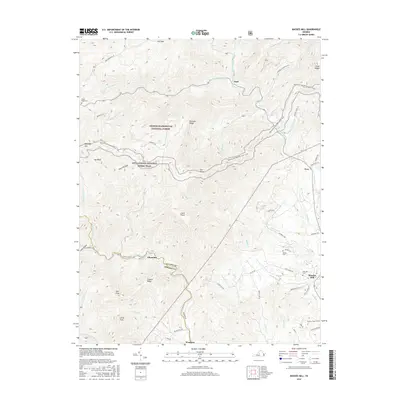
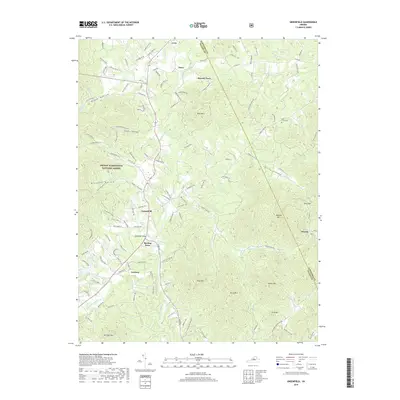
1892 Map of Buckingham
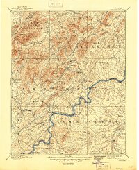
USGS Topo · Published 1941About this map
The Richmond and Alleghany Railroad traces the winding path of the river through this central Virginia landscape, connecting vital riverfront points like Browns Landing and Howardville. Surveyed by L.C. Fletcher in the late 19th century, the map reveals a region defined by its diverse terrain, from the ridges of the George Washington National Forest to the productive lowlands. Industrial and community markers are prominent, including the Soap Stone Quarry near Schuyler and local educational and spiritual hubs like the Klemburg School and Bagby Church. The county seat at Lovingston serves as a central point for the network of smaller settlements such as Faber Mills and Covesville, illustrating the transition from mountain-dependent economies to the rail-connected trade centers that flourished along the waterway corridors.
Find a feature on this map
149 named features on this map. Tap any name to fly to it.
Don’t see what you’re looking for? This feature index may not catch every label — zoom into the map to look around manually.
Map Details
Editions of this 1892 Buckingham Map
7 editions found

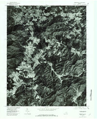
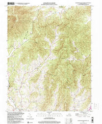
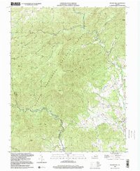
Historical Maps of Nellysford Through Time
22 maps found
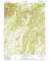
1892 Buckingham
Nelson County, VA
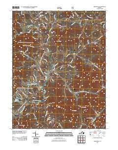
1965 Massies Mill
Nelson County, VA
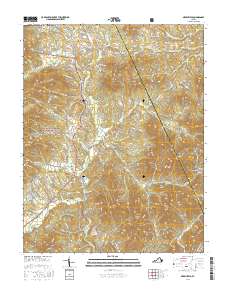
1967 Greenfield
Nelson County, VA
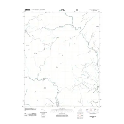
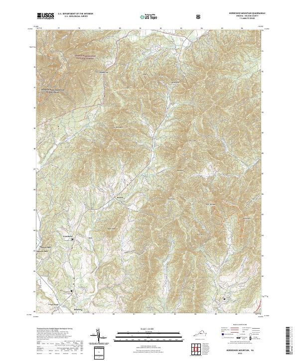
1967 Horseshoe Mountain
Nelson County, VA
1979 Greenfield
Nelson County, VA
1999 Horseshoe Mountain
Nelson County, VA
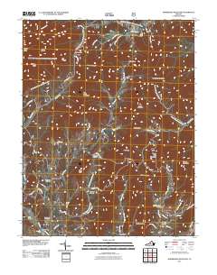
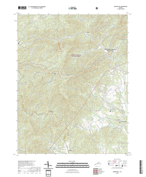
1999 Massies Mill
Nelson County, VA
2011 Greenfield
Nelson County, VA
2011 Horseshoe Mountain
Nelson County, VA
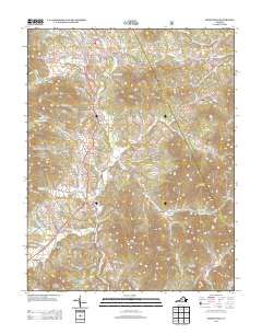
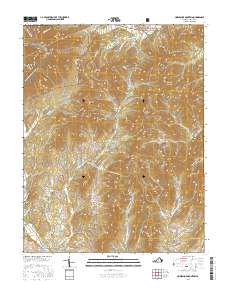
2011 Massies Mill
Nelson County, VA
2013 Greenfield
Nelson County, VA
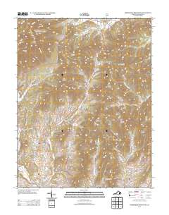
2013 Horseshoe Mountain
Nelson County, VA

2013 Massies Mill
Nelson County, VA
2016 Greenfield
Nelson County, VA
2016 Horseshoe Mountain
Nelson County, VA
2016 Massies Mill
Nelson County, VA
2019 Greenfield
Nelson County, VA
2019 Horseshoe Mountain
Nelson County, VA
2019 Massies Mill
Nelson County, VA
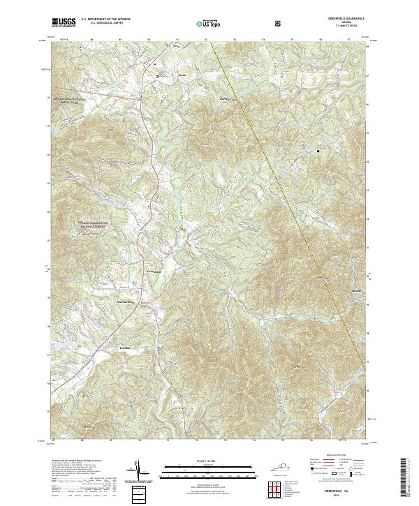
2022 Greenfield
Nelson County, VA
2022 Horseshoe Mountain
Nelson County, VA
2022 Massies Mill
Nelson County, VA