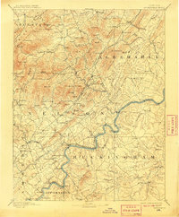
1892 Map of Buckingham
USGS Topo · Published 1909About this map
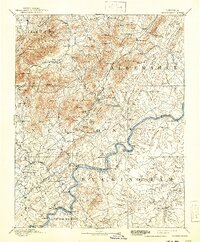
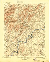
The Richmond and Alleghany Railroad traces the winding James River corridor through this 1888 survey, serving as the industrial backbone for the settlements of Howardsville, Warminster, and Manteo Sta. The landscape is defined by the sharp transition from the Piedmont's rolling terrain to the Blue Ridge foothills, where numerous gaps like Reeds Gap and Shields Gap provide passage through the heights of Three Ridges and The Rocks. Local industry is anchored by the Soap Stone Quarry near Albemarle, while smaller communities like Faber Mills and Rockfish cluster around the water power of the Rockfish River. This late 19th-century view captures the region's rural social infrastructure, including the Klemburg School and Bagby Church, alongside established river crossings and family landmarks such as Browns Landing and Porter Precinct. The confluence of the Buffalo River and James River marks a strategic point of transit and trade between the mountains and the coastal plains.
Find a feature on this map
156 named features on this map. Tap any name to fly to it.
Don’t see what you’re looking for? This feature index may not catch every label — zoom into the map to look around manually.
Map Details
Editions of this 1892 Buckingham Map
7 editions found
Other maps of this area

1891 · Palmyra
USGS Topo · 1:125,000

1891 · Farmville
USGS Topo · 1:125,000

1892 · Lynchburg
USGS Topo · 1:125,000

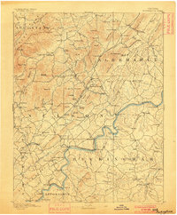
1892 · Buckingham
USGS Topo · 1:125,000

1892 · Appomattox
USGS Topo · 1:125,000

1892 · Gordonsville
USGS Topo · 1:125,000

1892 · Harrisonburg
USGS Topo · 1:125,000

1893 · Farmville
USGS Topo · 1:125,000

1894 · Staunton
USGS Topo · 1:125,000

1894 · Lexington
USGS Topo · 1:125,000