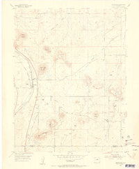
1954 Map of Greenland
USGS Topo · Published 1955About this map
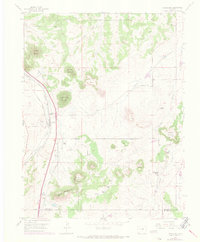
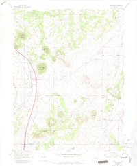
Greenland and its surrounding ranch lands occupy a high-country landscape defined by prominent buttes and the parallel tracks of major western railroads. This 1954 record shows the Atchison Topeka and Santa Fe and the Denver and Rio Grande Western lines following the valley of Carpenter Creek. These transit corridors were essential for the cattle operations at Greenland Ranch and Lincoln Ranch, which supported a rural community evidenced by the Spring Valley School (Aband) and Spring Valley Cem. The terrain is marked by distinctive elevations such as Rattlesnake Butte, True Mountain, and Best Butte. This document captures the Douglas and El Paso county line at a time when ranching still dominated the region, prior to the significant suburban expansion from the north and south.
Find a feature on this map
29 named features on this map. Tap any name to fly to it.
Don’t see what you’re looking for? This feature index may not catch every label — zoom into the map to look around manually.
Map Details
Editions of this 1954 Greenland Map
6 editions found
Other maps of this area

1894 · Castle Rock
USGS Topo · 1:125,000

1913 · Castle Rock
USGS Topo · 1:125,000

1939 · Elizabeth
USGS Topo · 1:62,500

1940 · Elbert
USGS Topo · 1:62,500

1940 · Castle Rock
USGS Topo · 1:62,500

1944 · Elbert
USGS Topo · 1:62,500

1945 · Castle Rock
USGS Topo · 1:62,500

1945 · Elizabeth
USGS Topo · 1:62,500

1953 · Denver
USGS Topo · 1:250,000

1954 · Cherry Valley School
USGS Topo · 1:24,000