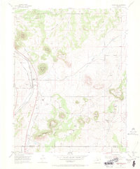
1954 Map of Greenland
USGS Topo · Published 1969About this map
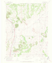
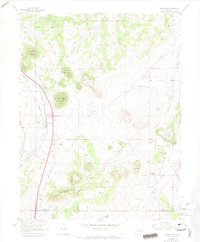
The tiny settlement of Greenland serves as a focal point for this 1954 survey, situated where the Denver and Rio Grande Western RR and the Atchison Topeka and Santa Fe RR parallel each other through the valley. This dual-rail corridor was critical for the local ranching economy, connecting the Greenland Ranch and Lincoln Ranch to larger markets. The landscape is defined by its prominent buttes and peaks, including Bald Mountain, True Mountain, and the isolated Rattlesnake Butte. Evidence of community life in this high-plains environment is found at the Spring Valley School and the nearby Spring Valley Cem located along Antelope Creek. An interesting piece of modern infrastructure for the era is the noted Telephone Cable (Underground) that cuts across the terrain between Carpenter Creek and Corner Mountain.
Find a feature on this map
27 named features on this map. Tap any name to fly to it.
Don’t see what you’re looking for? This feature index may not catch every label — zoom into the map to look around manually.
Map Details
Editions of this 1954 Greenland Map
6 editions found
Other maps of this area

1894 · Castle Rock
USGS Topo · 1:125,000

1913 · Castle Rock
USGS Topo · 1:125,000

1939 · Elizabeth
USGS Topo · 1:62,500

1940 · Elbert
USGS Topo · 1:62,500

1940 · Castle Rock
USGS Topo · 1:62,500

1944 · Elbert
USGS Topo · 1:62,500

1945 · Castle Rock
USGS Topo · 1:62,500

1945 · Elizabeth
USGS Topo · 1:62,500

1953 · Denver
USGS Topo · 1:250,000

1954 · Cherry Valley School
USGS Topo · 1:24,000