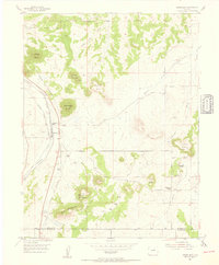
1954 Map of Greenland
USGS Topo · Published 1955About this map
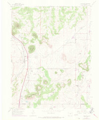
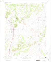
Greenland and the Greenland Ranch sit at a critical railway juncture in the mid-1950s, where the Denver and Rio Grande Western and the Atchison Topeka and Santa Fe railroads run parallel through the valley. This transit corridor is flanked by a dramatic landscape of flat-topped landmarks, including Rattlesnake Butte, Larkspur Butte, and True Mountain. To the south, the terrain rises toward Bald Mountain near the Douglas and El Paso county line.
Find a feature on this map
29 named features on this map. Tap any name to fly to it.
Don’t see what you’re looking for? This feature index may not catch every label — zoom into the map to look around manually.
Map Details
Editions of this 1954 Greenland Map
6 editions found
Other maps of this area

1894 · Castle Rock
USGS Topo · 1:125,000

1913 · Castle Rock
USGS Topo · 1:125,000

1939 · Elizabeth
USGS Topo · 1:62,500

1940 · Elbert
USGS Topo · 1:62,500

1940 · Castle Rock
USGS Topo · 1:62,500

1944 · Elbert
USGS Topo · 1:62,500

1945 · Castle Rock
USGS Topo · 1:62,500

1945 · Elizabeth
USGS Topo · 1:62,500

1953 · Denver
USGS Topo · 1:250,000

1954 · Cherry Valley School
USGS Topo · 1:24,000