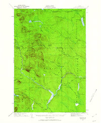
1930 Map of Greenlaw
USGS Topo · Published 1962About this map
The Machias River winds through the unorganized townships of central Aroostook County, anchoring a landscape defined by timber operations and remote sporting camps. This 1930 survey, which utilized aerial photography from the U.S. Army Air Corps, documents the transition between the primitive Round Mtn Trail and established industrial routes like the American Realty Road. The map provides a detailed view of the wilderness infrastructure of the era, from the rail-associated Russell Crossing and Greenlaw Crossing to specialized riverside locations such as Rand Landing and Grassy Landing. Topographical features like Greenlaw Mountain, Moosehorn Mountain, and Orcutt Mountain dominate the central terrain, while numerous lakes and ponds—including Little Machias Lake and Spectacle Pond—feed the complex stream network. Private camps and local landmarks such as The Owls Roost, V E Lynch Camp, and The Pinnacle offer specific points of interest for genealogists tracing family history in the Maine North Woods.
Find a feature on this map
58 named features on this map. Tap any name to fly to it.
Don’t see what you’re looking for? This feature index may not catch every label — zoom into the map to look around manually.
Map Details
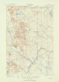
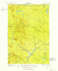
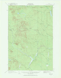
Editions of this 1930 Greenlaw Map
5 editions found
Other maps of this area

1928 · Winterville
USGS Topo · 1:48,000

1929 · Portage
USGS Topo · 1:62,500

1930 · Greenlaw
USGS Topo · 1:48,000

1931 · Fish River Lake
USGS Topo · 1:48,000

1931 · Ashland
USGS Topo · 1:48,000

1931 · Mooseleuk Lake
USGS Topo · 1:48,000

1931 · Portage
USGS Topo · 1:62,500

1931 · Winterville
USGS Topo · 1:62,500

1933 · Greenlaw
USGS Topo · 1:62,500

1934 · Ashland
USGS Topo · 1:62,500
Featured Places
- Portage Lake, ME
- Garfield Plantation, ME
- Nashville Plantation, ME
- Grassy Landing, T11 R7 WELS
- T12 R8 WELS, ME