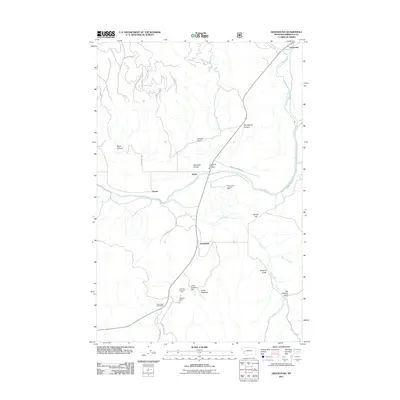
2011 Map of Greenough
USGS Topo · Published 2011About this map
The Blackfoot River carves through this Missoula County landscape, serving as a primary corridor for settlement and transit near the communities of Greenough and Barite. The terrain is defined by deep draws and high overlooks, such as Woodchuck Canyon and the Hunter Point Lookout Tower, which provided vital vantage points for regional fire management. This area reflects a mid-century balance of industrial land use and recreation, evidenced by the proximity of the Greenough Potomac Fire Sta 2 to the Lubrecht Camp Ski Area.
Find a feature on this map
32 named features on this map. Tap any name to fly to it.
Don’t see what you’re looking for? This feature index may not catch every label — zoom into the map to look around manually.
Map Details
Editions of this 2011 Greenough Map
This is the sole edition of this map. No revisions or reprints were ever made.
Other maps of this area

1902 · Ovando
USGS Topo · 1:125,000

1903 · Bonner
USGS Topo · 1:125,000

1905 · Ovando
USGS Topo · 1:125,000

1919 · Drummond
USGS Topo · 1:125,000

1921 · Drummond
USGS Topo · 1:125,000

1921 · Elbow Lake
USGS Topo · 1:125,000

1947 · Butte
USGS Topo · 1:250,000

1955 · Choteau
USGS Topo · 1:250,000

1957 · Choteau
USGS Topo · 1:250,000

1958 · Butte
USGS Topo · 1:250,000