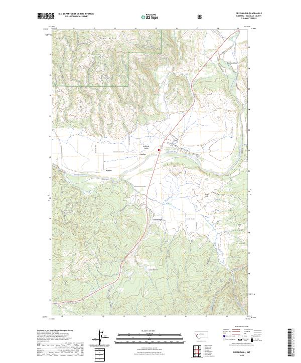
2024 Map of Greenough
USGS Topo · Published 2024About this map
The Blackfoot River carves through the heart of this landscape, anchoring a valley defined by small timber-and-ranching outposts and the reaches of the Lolo National Forest. The settlement of Greenough sits near the confluence of several mountain drainages, serving as a focal point for the surrounding Ninemile Prairie and the heights of Game Ridge. To the west, the tiny community of Sunset and the mineral-named Barite reflect the area’s resource-driven history, where steep canyons like Black Canyon give way to open grazing lands.
Find a feature on this map
40 named features on this map. Tap any name to fly to it.
Don’t see what you’re looking for? This feature index may not catch every label — zoom into the map to look around manually.
Map Details
Editions of this 2024 Greenough Map
This is the sole edition of this map. No revisions or reprints were ever made.
Other maps of this area

1902 · Ovando
USGS Topo · 1:125,000

1903 · Bonner
USGS Topo · 1:125,000

1905 · Ovando
USGS Topo · 1:125,000

1919 · Drummond
USGS Topo · 1:125,000

1921 · Drummond
USGS Topo · 1:125,000

1921 · Elbow Lake
USGS Topo · 1:125,000

1947 · Butte
USGS Topo · 1:250,000

1955 · Choteau
USGS Topo · 1:250,000

1957 · Choteau
USGS Topo · 1:250,000

1958 · Butte
USGS Topo · 1:250,000