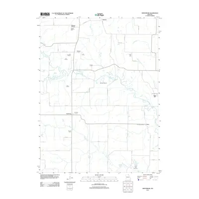
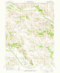
2012 Map of Greensburg
USGS Topo · Published 2012About this map
Greensburg serves as a central point in this rural landscape of northeast Missouri, where a network of county roads connects quiet settlements and family burial grounds. The geography is defined by the South Fork Middle Fabius River and the Middle Fabius River, which wind through the terrain near landmarks like Spillman Mound. For those researching local history, the map preserves the names of small communities such as Fabius, Sand Hill, and Edinburg.
Find a feature on this map
53 named features on this map. Tap any name to fly to it.
Don’t see what you’re looking for? This feature index may not catch every label — zoom into the map to look around manually.
Map Details
Editions of this 2012 Greensburg Map
This is the sole edition of this map. No revisions or reprints were ever made.
Other maps of this area

1903 · Edina
USGS Topo · 1:125,000

1954 · Centerville
USGS Topo · 1:250,000

1957 · Centerville
USGS Topo · 1:250,000

1958 · Centerville
USGS Topo · 1:250,000

1965 · Memphis
USGS Topo · 1:24,000
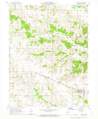
1965 · Knox City
USGS Topo · 1:24,000
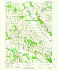
1965 · Rutledge
USGS Topo · 1:24,000
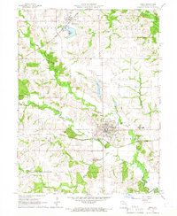
1965 · Edina
USGS Topo · 1:24,000
1965 · Arbela
USGS Topo · 1:24,000

1965 · Greensburg
USGS Topo · 1:24,000