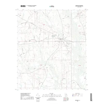
2018 Map of Greensburg
USGS Topo · Published 2018About this map
Greensburg serves as the focal point of this Saint Helena Parish survey, situated at the junction of Hwy 10 and the Zachary Taylor Pkwy. The landscape is defined by the winding course of the Tickfaw River and Little River, which slice through a terrain dense with smaller tributaries like Twelvemile Cr and Hutchison Cr. This map is particularly valuable for genealogical research, documenting numerous family burial sites such as Foster Cem, Bickham Cem, Arbuthnot Cem, and the Womack-Brickham Cem. The presence of the Northshore Technical Community College Florida Parish Campus indicates the town's role as a regional educational hub. From the banks of Joseph Br to the rural expanses along Amaker Rd, the map details a community deeply connected to its watercourses and local history.
Find a feature on this map
99 named features on this map. Tap any name to fly to it.
Don’t see what you’re looking for? This feature index may not catch every label — zoom into the map to look around manually.
Map Details
Editions of this 2018 Greensburg Map
This is the sole edition of this map. No revisions or reprints were ever made.
Other maps of this area
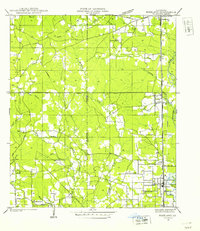
1940 · Roseland
USGS Topo · 1:31,680
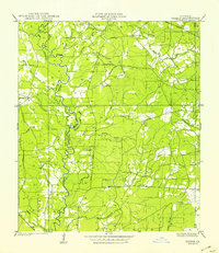
1941 · Gilead
USGS Topo · 1:31,680
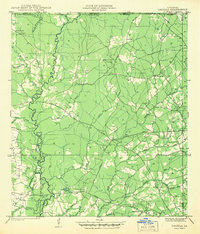
1941 · Chipola
USGS Topo · 1:31,680
1942 · Roseland
USGS Topo · 1:31,680
1942 · Montpelier
USGS Topo · 1:31,680
1942 · Liverpool
USGS Topo · 1:31,680
1942 · Pine Grove
USGS Topo · 1:31,680
1942 · Gilead
USGS Topo · 1:31,680
1945 · Chipola
USGS Topo · 1:31,680
1949 · Amite
USGS Topo · 1:31,680