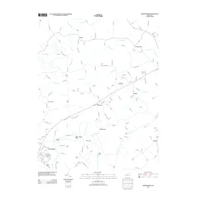
2013 Map of Greensburg
USGS Topo · Published 2013About this map
The Green River meanders through the heart of this landscape, carving a valley defined by prominent features like Cox Bend and several river landforms including Hobson Island, Snaps Island, and White Island. The city of Greensburg serves as the regional hub in the southwest, while smaller outlying communities such as Black Gnat, Bengal, and Sweeneyville anchor the surrounding rural crossroads.
Find a feature on this map
149 named features on this map. Tap any name to fly to it.
Don’t see what you’re looking for? This feature index may not catch every label — zoom into the map to look around manually.
Map Details
Editions of this 2013 Greensburg Map
This is the sole edition of this map. No revisions or reprints were ever made.
Other maps of this area

1953 · Campbellsville
USGS Topo · 1:24,000

1953 · Saloma
USGS Topo · 1:24,000

1953 · Hibernia
USGS Topo · 1:24,000

1953 · Summersville
USGS Topo · 1:24,000

1953 · Exie
USGS Topo · 1:24,000

1953 · Gresham
USGS Topo · 1:24,000

1953 · Spurlington
USGS Topo · 1:24,000

1953 · Cane Valley
USGS Topo · 1:24,000

1954 · Greensburg
USGS Topo · 1:24,000

1957 · Winchester
USGS Topo · 1:250,000