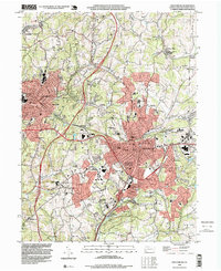
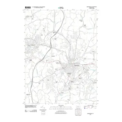
1993 Map of Greensburg
USGS Topo · Published 1999About this map
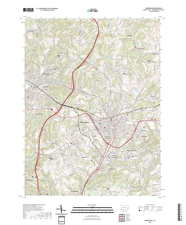
Bushy Run Battlefield State Park marks the northwestern corner of this Westmoreland County landscape, where the ridges of Salem and Penn townships meet the industrial and commercial expansion of the late 20th century. The urbanization of Greensburg and Jeannette is evident in the dense residential clusters and the heavy infrastructure of the Conrail line and the Lincoln Highway. Institutional landmarks such as Seton Hill College and the State Correctional Inst anchor the area south of the city center, while scattered Mine Dumps serve as physical reminders of the region's deep-seated coal heritage.
Find a feature on this map
56 named features on this map. Tap any name to fly to it.
Don’t see what you’re looking for? This feature index may not catch every label — zoom into the map to look around manually.
Map Details
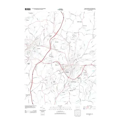
Editions of this 1993 Greensburg Map
2 editions found
Historical Maps of Greensburg Through Time
9 maps found

1904 Greensburg
Westmoreland County, PA
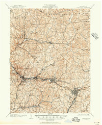
1906 Greensburg
Westmoreland County, PA
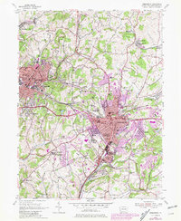
1954 Greensburg
Westmoreland County, PA
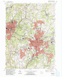
1993 Greensburg
Westmoreland County, PA
2010 Greensburg
Westmoreland County, PA
2013 Greensburg
Westmoreland County, PA
2016 Greensburg
Westmoreland County, PA
2019 Greensburg
Westmoreland County, PA
2023 Greensburg
Westmoreland County, PA
Featured Locations
- Greensburg, PA
- Jeannette, PA
- Southwest Greensburg, PA
- South Greensburg, PA
- Grapeville, Hempfield Township