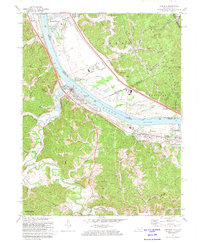
1972 Map of Greenup
USGS Topo · Published 1973About this map
Industrial activity along the Ohio River characterizes this 1970s survey, where the Chesapeake and Ohio and Norfolk and Western railroads track both banks of the water. The landscape is a mix of river-bottom commerce and rugged hillside terrain, featuring numerous small family and community cemeteries like the Gilruth-Davisson Cem and Austin Cem. While Greenup serves as a primary hub, smaller settlements such as Wurtland and Franklin Furnace demonstrate the era's reliance on the rail-and-river corridor. Significant land use is visible in the hills, where several Strip Mines operate near Coal Bank Hollow. To the south, the preservation of the landscape is marked by the border of Greenbo Lake State Park, providing a sharp contrast to the utility of the river valley. Notable landmarks such as Our Lady of Fatima Shrine and the County Park and Fairgrounds offer specific points of interest for local history researchers and genealogists.
Find a feature on this map
81 named features on this map. Tap any name to fly to it.
Don’t see what you’re looking for? This feature index may not catch every label — zoom into the map to look around manually.
Map Details
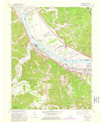
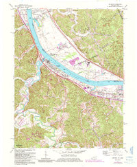
Editions of this 1972 Greenup Map
3 editions found
Other maps of this area

1898 · Ironton
USGS Topo · 1:62,500

1900 · Ironton
USGS Topo · 1:62,500

1901 · Ceredo
USGS Topo · 1:62,500

1903 · Kenova
USGS Topo · 1:125,000

1904 · Kenova
USGS Topo · 1:125,000

1913 · Ceredo
USGS Topo · 1:62,500

1926 · Greenup
USGS Topo · 1:48,000

1930 · Greenup
USGS Topo · 1:62,500

1953 · Oldtown
USGS Topo · 1:24,000
1953 · Load
USGS Topo · 1:24,000