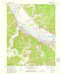
1972 Map of Greenup
USGS Topo · Published 1976About this map
The Ohio River corridor serves as the industrial and transit backbone for this region during the 1970s, where the Chesapeake and Ohio and Norfolk and Western railroads mirror the riverbanks. The settlement of Greenup serves as a focal point, situated near the confluence with the Little Sandy River. The map captures a landscape in transition, where legacy features like the Indian Mound and numerous family burial grounds, including the Gilruth-Davisson Cem and Bumgarner Cem, sit alongside mid-century developments like Poplar Highlands.
Find a feature on this map
97 named features on this map. Tap any name to fly to it.
Don’t see what you’re looking for? This feature index may not catch every label — zoom into the map to look around manually.
Map Details
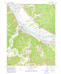
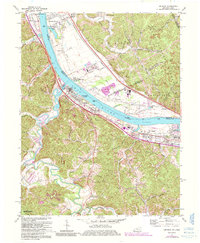
Editions of this 1972 Greenup Map
3 editions found
Other maps of this area

1898 · Ironton
USGS Topo · 1:62,500

1900 · Ironton
USGS Topo · 1:62,500

1901 · Ceredo
USGS Topo · 1:62,500

1903 · Kenova
USGS Topo · 1:125,000

1904 · Kenova
USGS Topo · 1:125,000

1913 · Ceredo
USGS Topo · 1:62,500

1926 · Greenup
USGS Topo · 1:48,000

1930 · Greenup
USGS Topo · 1:62,500

1953 · Oldtown
USGS Topo · 1:24,000
1953 · Load
USGS Topo · 1:24,000