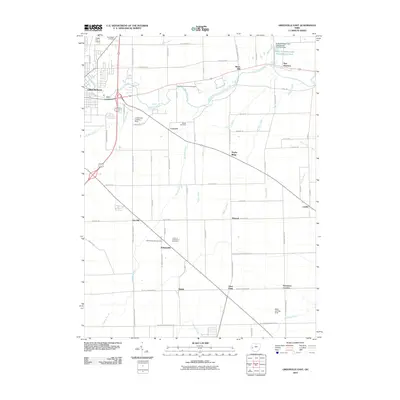
2010 Map of Greenville East
USGS Topo · Published 2010About this map
Greenville Creek meanders eastward from the city of Greenville, anchoring a landscape defined by small crossroads settlements and a dense network of country roads. Small rural communities like Abbottsville, Delisle, and Jaysville are scattered across the terrain, connected by historical thoroughfares such as Hogpath Rd and Jaysville Saint Johns Rd. The map reveals the area's agricultural and local-industry roots, highlighted by the presence of Bears Mill along the creek and several remote burial grounds, including the Old Abbottsville Cemetery and East Zion Community Cemetery. Aviation history is visible through small local facilities like Treaty City Airport and Lansdowne Landing Strip. The drainage patterns, indicated by features like McQuay Ditch and Poplar Ditch, illustrate the region's managed hydrology and its influence on local land use at the start of the 21st century.
Find a feature on this map
72 named features on this map. Tap any name to fly to it.
Don’t see what you’re looking for? This feature index may not catch every label — zoom into the map to look around manually.
Map Details
Editions of this 2010 Greenville East Map
This is the sole edition of this map. No revisions or reprints were ever made.
Other maps of this area

1905 · Brookville
USGS Topo · 1:62,500

1911 · Covington
USGS Topo · 1:62,500

1944 · Covington
USGS Topo · 1:62,500

1953 · Cincinnati
USGS Topo · 1:250,000

1953 · Muncie
USGS Topo · 1:250,000

1956 · Muncie
USGS Topo · 1:250,000

1957 · Cincinnati
USGS Topo · 1:250,000

1960 · New Madison
USGS Topo · 1:24,000

1961 · Laura
USGS Topo · 1:24,000

1961 · Dawn
USGS Topo · 1:24,000