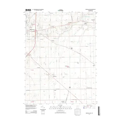
2013 Map of Greenville East
USGS Topo · Published 2013About this map
Bears Mill stands as a focal point of this rural landscape, situated along the meandering path of Greenville Creek as it flows toward Gettysburg. The eastern portion of Greenville transitions into a network of drainage ditches and small tributaries, including Poplar Ditch and McQuay Ditch, which support the region's agricultural character. Several family farms and historic agricultural holdings are identified, such as Ross Farm, Brumlaugh Farms, and Tegtmeyer Farms, illustrating the deep-rooted land use patterns of Darke County.
Find a feature on this map
148 named features on this map. Tap any name to fly to it.
Don’t see what you’re looking for? This feature index may not catch every label — zoom into the map to look around manually.
Map Details
Editions of this 2013 Greenville East Map
This is the sole edition of this map. No revisions or reprints were ever made.
Other maps of this area

1905 · Brookville
USGS Topo · 1:62,500

1911 · Covington
USGS Topo · 1:62,500

1944 · Covington
USGS Topo · 1:62,500

1953 · Cincinnati
USGS Topo · 1:250,000

1953 · Muncie
USGS Topo · 1:250,000

1956 · Muncie
USGS Topo · 1:250,000

1957 · Cincinnati
USGS Topo · 1:250,000

1960 · New Madison
USGS Topo · 1:24,000

1961 · Laura
USGS Topo · 1:24,000

1961 · Dawn
USGS Topo · 1:24,000