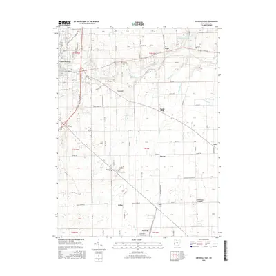
2016 Map of Greenville East
USGS Topo · Published 2016About this map
Bears Mill stands as a prominent landmark along the winding path of Greenville Creek, anchoring a landscape defined by its agricultural heritage and historic rural crossroads. This 2016 survey of Darke County captures a cluster of long-established settlements and family-named landmarks including Fourmans Corners, Steel Point, and Nineveh. The area is particularly dense with burial grounds, ranging from large sites like Arcanum Greenlawn Cem to smaller, localized plots such as Old Abbottsville Cem and Martin Cem, providing essential data for genealogical research.
Find a feature on this map
106 named features on this map. Tap any name to fly to it.
Don’t see what you’re looking for? This feature index may not catch every label — zoom into the map to look around manually.
Map Details
Editions of this 2016 Greenville East Map
This is the sole edition of this map. No revisions or reprints were ever made.
Other maps of this area

1905 · Brookville
USGS Topo · 1:62,500

1911 · Covington
USGS Topo · 1:62,500

1944 · Covington
USGS Topo · 1:62,500

1953 · Cincinnati
USGS Topo · 1:250,000

1953 · Muncie
USGS Topo · 1:250,000

1956 · Muncie
USGS Topo · 1:250,000

1957 · Cincinnati
USGS Topo · 1:250,000

1960 · New Madison
USGS Topo · 1:24,000

1961 · Laura
USGS Topo · 1:24,000

1961 · Dawn
USGS Topo · 1:24,000