Loading...
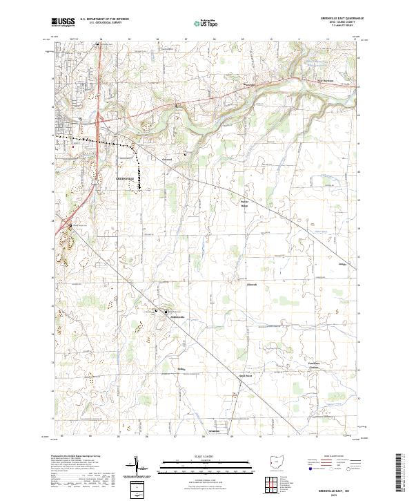
Loading map...2023 Map of Greenville East
USGS Topo · Published 2023About this map
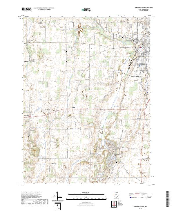
Greenville serves as the focal point for this section of Darke County, where the city's eastern expansion meets the agricultural landscape of rural Ohio. The waterways of Greenville Creek, Bridge Creek, and Bolton Run define the drainage of the area, supporting a network of farms and small settlements. Local history is anchored by the presence of Bears Mill, a significant landmark of nineteenth-century industry that remains a centerpiece of the regional landscape.
Find a feature on this map
114 named features on this map. Tap any name to fly to it.
Don’t see what you’re looking for? This feature index may not catch every label — zoom into the map to look around manually.
Map Details
Date Portrayed2023
Date Published2023
PublisherU.S. Geological Survey
Map TypeTopographic
Scale1:24000
Physical Dimensions24 x 29 inches
Editions of this 2023 Greenville East Map
This is the sole edition of this map. No revisions or reprints were ever made.
Historical Maps of Delisle Through Time
8 maps found
Featured Locations
Source Details
SourceU.S. Geological Survey
CopyrightPublic Domain