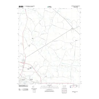
2010 Map of Greenville NE
USGS Topo · Published 2010About this map
Staton and Stokes anchor this rural landscape northeast of Greenville, where a network of family-named roads and small settlements defines the Pitt County countryside. The area is marked by a blend of agricultural roots and modern industrial growth, with the United Industrial Park and Greenfield Terrace positioned near the southern edge. Local history is deeply embedded in the names of the thoroughfares, such as Stokes Elementary School Rd, Sweet Gum Grove Church Rd, and Alexander Brown Rd, which trace the community's development along Grindle Creek and Briery Swamp.
Find a feature on this map
38 named features on this map. Tap any name to fly to it.
Don’t see what you’re looking for? This feature index may not catch every label — zoom into the map to look around manually.
Map Details
Editions of this 2010 Greenville NE Map
This is the sole edition of this map. No revisions or reprints were ever made.
Other maps of this area

1901 · Parmele
USGS Topo · 1:62,500

1901 · Williamston
USGS Topo · 1:62,500

1902 · Williamston
USGS Topo · 1:62,500

1902 · Parmele
USGS Topo · 1:62,500

1903 · Winterville
USGS Topo · 1:62,500

1903 · Chocowinity
USGS Topo · 1:62,500

1905 · Chocowinity
USGS Topo · 1:62,500

1905 · Winterville
USGS Topo · 1:62,500

1953 · Rocky Mount
USGS Topo · 1:250,000

1954 · Rocky Mount
USGS Topo · 1:250,000