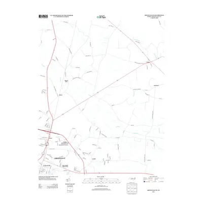
2013 Map of Greenville NE
USGS Topo · Published 2013About this map
Greenville's northeastern outskirts reveal a landscape transitioning from the city's industrial edge to the tobacco-country lowlands of Pitt County. The map details the emergence of modern residential and industrial developments, including the United Industrial Park and residential clusters like Greenfield Terrace and Langley. Away from the urban center, the terrain is defined by the winding course of Grindle Cr and the broad reaches of Briery Swamp, which dominate the rural northeastern quadrant. Small, longstanding communities such as Stokes, Staton, and Whichard sit at crossroads connected by a dense network of local roads. Many of these routes, like Stokes Elementary School Rd and Sweet Gum Grove Church Rd, are named for the community landmarks that traditionally served as the social anchors for this part of the coastal plain.
Find a feature on this map
98 named features on this map. Tap any name to fly to it.
Don’t see what you’re looking for? This feature index may not catch every label — zoom into the map to look around manually.
Map Details
Editions of this 2013 Greenville NE Map
This is the sole edition of this map. No revisions or reprints were ever made.
Other maps of this area

1901 · Parmele
USGS Topo · 1:62,500

1901 · Williamston
USGS Topo · 1:62,500

1902 · Williamston
USGS Topo · 1:62,500

1902 · Parmele
USGS Topo · 1:62,500

1903 · Winterville
USGS Topo · 1:62,500

1903 · Chocowinity
USGS Topo · 1:62,500

1905 · Chocowinity
USGS Topo · 1:62,500

1905 · Winterville
USGS Topo · 1:62,500

1953 · Rocky Mount
USGS Topo · 1:250,000

1954 · Rocky Mount
USGS Topo · 1:250,000