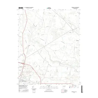
2016 Map of Greenville NE
USGS Topo · Published 2016About this map
Greenville serves as the southern anchor for this map of the Coastal Plain, where low-lying drainage basins define the rural landscape. Small, dispersed settlements like Stokes, Staton, and Whichard are interconnected by a dense network of country roads, many bearing family names like Alexander Brown Rd and Dupree Moore Rd. The geography is characterized by expansive wetland systems including Baldwin Swamp, Cannon Swamp, and Briery Swamp, which feed into Grindle Creek. The placement of House and various school-related roads, such as Stokes Elementary School Rd and Mason School Rd, indicates a long-standing pattern of agricultural community centers. This topographic study captures the precise interface between the expanding urban reach of the county seat and the persistent swamp forests that have shaped Pitt County commerce and travel for generations.
Find a feature on this map
75 named features on this map. Tap any name to fly to it.
Don’t see what you’re looking for? This feature index may not catch every label — zoom into the map to look around manually.
Map Details
Editions of this 2016 Greenville NE Map
This is the sole edition of this map. No revisions or reprints were ever made.
Other maps of this area

1901 · Parmele
USGS Topo · 1:62,500

1901 · Williamston
USGS Topo · 1:62,500

1902 · Williamston
USGS Topo · 1:62,500

1902 · Parmele
USGS Topo · 1:62,500

1903 · Winterville
USGS Topo · 1:62,500

1903 · Chocowinity
USGS Topo · 1:62,500

1905 · Chocowinity
USGS Topo · 1:62,500

1905 · Winterville
USGS Topo · 1:62,500

1953 · Rocky Mount
USGS Topo · 1:250,000

1954 · Rocky Mount
USGS Topo · 1:250,000