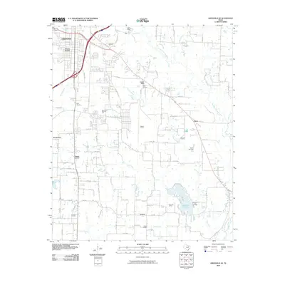
2010 Map of Greenville SE
USGS Topo · Published 2010About this map
Greenville serves as the focal point of this North Texas landscape, where the urban grid gives way to the agricultural and riparian corridors of Hunt County. The Cowleech Fork Sabine River and its many tributaries, including Cedar Creek and Wolf Creek, snake through the eastern and southern portions of the quadrangle, defining the drainage patterns that shaped local settlement. This survey captures a moment of suburban transition, seen in neighborhoods like Mineral Heights and Meadowview positioned near major transit arteries like US Hwy 69 Bus.
Find a feature on this map
93 named features on this map. Tap any name to fly to it.
Don’t see what you’re looking for? This feature index may not catch every label — zoom into the map to look around manually.
Map Details
Editions of this 2010 Greenville SE Map
This is the sole edition of this map. No revisions or reprints were ever made.
Other maps of this area

1953 · Texarkana
USGS Topo · 1:250,000

1954 · Dallas
USGS Topo · 1:250,000

1954 · Sherman
USGS Topo · 1:250,000

1956 · Texarkana
USGS Topo · 1:250,000

1956 · Tyler
USGS Topo · 1:250,000

1956 · Quinlan
USGS Topo · 1:62,500

1956 · Emory
USGS Topo · 1:62,500

1958 · Dallas
USGS Topo · 1:250,000

1958 · Sherman
USGS Topo · 1:250,000

1962 · Greenville NW
USGS Topo · 1:24,000